



The River of Sorrows
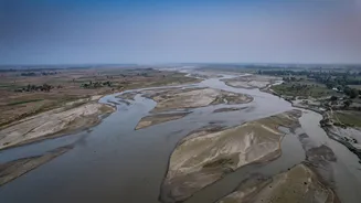
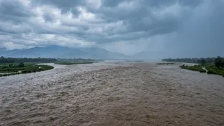
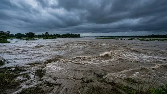
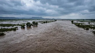
The Kosi is one of the largest tributaries of the Ganga, draining a massive area across Tibet, Nepal, and India. But its reputation is defined by its destructive power. The annual monsoon floods affect an enormous area of fertile agricultural land, disrupting
the rural economy and the lives of millions. The river is notorious for its unpredictable behaviour; it can rise rapidly and has a history of suddenly changing its course, sometimes by hundreds of kilometres, turning fields and villages into a swirling expanse of water overnight. This volatility has made northern Bihar one of India's most flood-prone regions, shaping life, culture, and a constant struggle for survival along its banks.
Born in the Young Himalayas
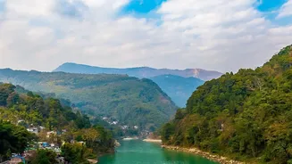
The problem begins at its source. The Kosi's tributaries originate in the Himalayas, some of the youngest and most geologically active mountains in the world. These mountains are still rising, and their steep, fragile slopes are prone to erosion and landslides. The river carves through this soft, unstable landscape with immense force. Unlike older, more stable rivers, the Kosi acts like a powerful conveyor belt, picking up vast quantities of rock, sand, and soil. This process is supercharged during the intense monsoon season, which brings torrential rainfall to the already vulnerable mountain catchment area.
A Super-Sized Sediment Load
The single most important factor in the Kosi's behaviour is its sediment load. It carries one of the highest quantities of silt of any river in the world. Estimates suggest the Kosi contributes nearly a quarter of the entire sediment load of the Ganges river system, despite representing only a small fraction of its basin. This is not just fine dust; it's a thick slurry of sand, gravel, and soil, scraped from the Himalayas and carried downstream. While all rivers carry sediment, the sheer volume transported by the Kosi is exceptional, estimated to be between 100 and 135 million tonnes per year.
The Great Slowdown on the Plains
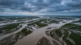
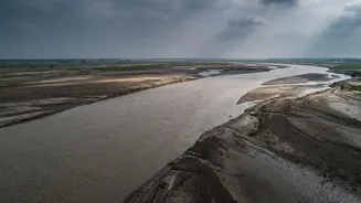
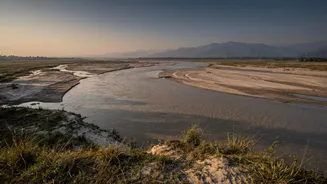
The critical interaction happens where the mountains meet the plains. After rushing through the narrow Chatra Gorge in Nepal with tremendous speed and energy, the Kosi emerges onto the vast, flat plains of North Bihar. Here, the river's gradient drops dramatically. The water slows down and loses the energy required to carry its heavy sediment load. As a result, it begins to dump the silt onto its own riverbed. Year after year, this deposition raises the riverbed, sometimes making it higher than the surrounding land. This process has created a massive alluvial megafan—a huge, cone-shaped deposit of sediment spreading across thousands of square kilometres.
A River That Jumps Its Banks
When the riverbed is higher than the floodplain, the situation becomes incredibly unstable. The river is essentially flowing on a raised platform of its own making. During a high-flow monsoon, it becomes easier for the water to break out of its channel and carve a new path through the lower-lying, often densely populated, agricultural land. This sudden and dramatic change of course is known as avulsion. The devastating 2008 Kosi flood was a tragic example, when the river breached an embankment, abandoned its established channel, and shifted east by over 100 kilometres, affecting millions of people in both Nepal and India.
The Embankment Paradox
For decades, the primary strategy for managing the Kosi has been to build embankments to confine it. However, this has created a paradox. The embankments prevent the river from spreading out, which forces it to deposit all its silt within a narrow channel, accelerating the process of the riverbed rising. This raises the water level further, increasing the pressure on the embankments and making any breach even more catastrophic because the river is flowing at a higher elevation. While intended as a solution, embankments have, in many ways, locked the river into a cycle of raising its own bed, creating a more dangerous long-term threat for the millions living in its shadow.