


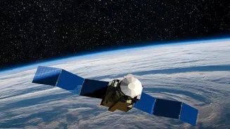

India’s Eyes Over the Ocean
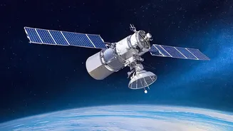
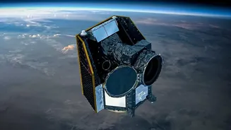
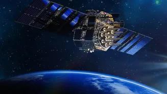
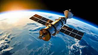
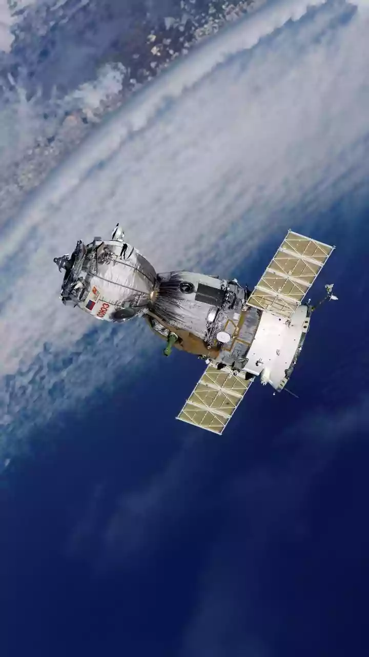
The OceanSat series is a family of satellites designed and operated by the Indian Space Research Organisation (ISRO) specifically for oceanographic studies. The programme began with the launch of OceanSat-1 in 1999 and has continued with successors like
OceanSat-2 (2009) and OceanSat-3, also known as EOS-06, which was launched in November 2022. These satellites are placed in a polar sun-synchronous orbit, allowing them to observe the entire globe systematically. Their primary mission is to gather data on the physical and biological properties of the ocean, which is vital for a country with a coastline stretching over 8,000 kilometres. Think of them as dedicated sentinels, providing a continuous stream of information about the seas that are so crucial to India's economy and climate.
Reading the Ocean's Colours
The key to OceanSat's capability lies in its Ocean Colour Monitor (OCM) sensor. The colour of the ocean, as seen from space, is not uniform. It changes from deep blue to shades of green depending on what's in the water. These variations are primarily caused by the presence of phytoplankton, the microscopic marine algae that form the base of the oceanic food web. Phytoplankton contain chlorophyll, which absorbs blue and red light and reflects green light. The OCM is a highly sensitive camera that can detect these subtle changes in colour across different spectral bands. By analysing this data, scientists can create detailed maps showing the concentration of chlorophyll in the water, which is a direct indicator of phytoplankton abundance.
From Algae to Accurate Forecasts
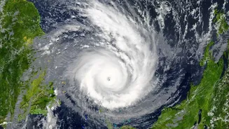
Information about phytoplankton might seem niche, but it has profound implications for weather forecasting. The oceans and atmosphere are a tightly coupled system. Phytoplankton play a role in this by influencing the ocean's heat absorption and the exchange of gases like carbon dioxide. More directly, the data from OceanSat, including sea surface temperature and wind data from other onboard instruments like scatterometers, are crucial inputs for numerical weather prediction models. This information helps in tracking the formation and intensification of cyclones, predicting the onset of the monsoon, and improving the accuracy of daily weather forecasts, giving authorities and the public vital lead time to prepare.
A Game-Changer for Indian Fishermen
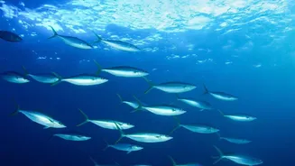
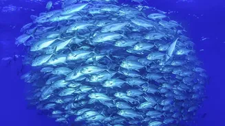
Perhaps the most direct and celebrated application of OceanSat data is in aiding India's fishing community. Where there are phytoplankton, there are small fish that feed on them, and where there are small fish, larger, commercially valuable fish are likely to be found. Using the chlorophyll data from OceanSat, combined with sea surface temperature readings, the Indian National Centre for Ocean Information Services (INCOIS) generates Potential Fishing Zone (PFZ) advisories. These advisories are essentially treasure maps for fishermen, pinpointing the exact locations (latitude and longitude) of likely fish aggregation. This service, disseminated daily through various channels including text messages and dedicated apps, helps hundreds of thousands of fishermen. They can head directly to productive areas, significantly reducing the time and fuel spent searching for a catch. Studies have shown this not only increases their income but also saves an enormous amount of diesel, reducing both operational costs and carbon emissions.