





Decoding the Downpour: When Rain Becomes a Threat
The India Meteorological Department (IMD) uses specific categories to classify rainfall, which helps predict the potential for disruption. 'Heavy rain' is defined as 64.5 mm to 115.5 mm in a 24-hour period. When the forecast escalates to 'very heavy rain' (115.6
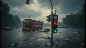
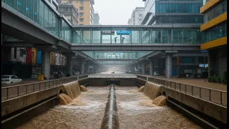
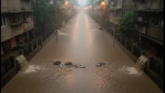
mm to 204.4 mm) or 'extremely heavy rain' (above 204.5 mm), the city braces for significant impact. Mumbai's century-old drainage system was designed to handle only about 25 mm of rain per hour. When rainfall intensity surpasses 50 mm per hour, especially during high tide, the system is overwhelmed, leading to widespread waterlogging because the floodgates to the sea must be closed.
Mapping the Choke Points: Mumbai's Chronic Flooding Spots
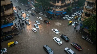
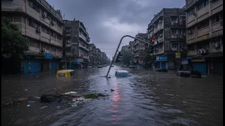
Certain low-lying areas in Mumbai are notorious for flooding. The Brihanmumbai Municipal Corporation (BMC) has identified nearly 500 chronic flooding spots. Areas like Hindmata, Dadar, Andheri, Milan Subway, Kurla, and Chembur are perennial hotspots. Even parts of South Mumbai, traditionally less prone to flooding, such as Churchgate, Marine Lines, and near Mantralaya, have been added to the list after experiencing significant waterlogging in recent years. These locations often suffer due to their saucer-shaped topography, proximity to overwhelmed rivers like the Mithi, or because critical drainage channels are blocked by garbage or unplanned construction.
The Lifeline Under Water: Impact on Local Trains
Mumbai's suburban railway, its lifeline, is highly vulnerable to rainfall. Even moderate spells can cause delays due to reduced visibility. However, the real crisis begins when water levels rise above the tracks. Services on the Central, Western, and Harbour lines are frequently delayed by 15-30 minutes or more during heavy downpours. When rainfall is extremely heavy, leading to waterlogging at key stations like Dadar, Sion, and Kurla, or in the Vasai-Virar belt, services are often suspended. This strands millions of commuters, as the railway network carries a massive number of passengers daily. The disruption isn't just about inconvenience; it brings the city's workforce to a grinding halt.
Gridlock on the Ground: Roads and Bus Services
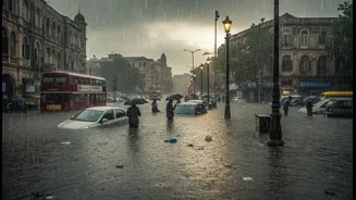
When the trains stop, pressure mounts on the roads, leading to city-wide gridlock. Heavy rain causes traffic to slow to a crawl on major arteries like the Western and Eastern Express Highways. Key subways, such as the one in Andheri, are often shut down due to flooding, severing crucial east-west connectivity. BEST buses, the city's other public transport pillar, are forced to divert their routes, leaving commuters in the lurch. The combination of submerged roads, diverted buses, and an influx of private vehicles creates a perfect storm of traffic chaos, turning a 30-minute journey into a multi-hour ordeal.
The City's Response: A Battle Against Water
The BMC's response to this predictable crisis involves a massive annual operation. Ahead of the monsoon, drains are desilted to improve flow. During heavy spells, hundreds of dewatering pumps are activated across the city's flooding hotspots to clear accumulated water. For the 2026 monsoon, the BMC has deployed over 448 pumping stations to manage the deluge. The civic body has also been investing in long-term solutions, such as building underground water storage tanks like the one at Hindmata and exploring a 'sponge city' model to improve water absorption through parks and permeable pavements. Despite these efforts, the increasing intensity of rainfall, a likely consequence of climate change, continues to challenge the city's infrastructure.