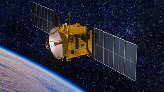







An Unblinking Eye in the Sky
When we think of satellites, we often picture objects rapidly circling the globe, capturing fleeting snapshots of the ground below. While many of ISRO's Earth observation satellites operate this way in Low Earth Orbit (LEO), a special class of satellites offers
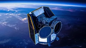
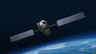
a different, crucial advantage: persistence. Positioned in geostationary orbit approximately 36,000 kilometres above the equator, these satellites match the Earth's rotation. This perfect orbital dance allows them to 'hover' over the same geographical area continuously. This constant presence is the key to 'persistent observation,' transforming satellite monitoring from a series of periodic check-ins into an unbroken, real-time vigil. This capability is a game-changer for applications that require monitoring of rapidly evolving situations, from fast-moving cyclones to sensitive developments along national borders.
The Weather Watchers: Predicting Nature's Fury
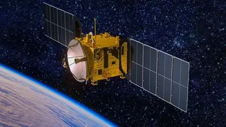
For years, ISRO's Indian National Satellite System (INSAT) has been the backbone of India's weather forecasting and disaster management efforts. Geostationary satellites like INSAT-3D and INSAT-3DR are dedicated meteorological platforms, equipped with advanced instruments called imagers and sounders. These instruments continuously scan the Indian subcontinent and the surrounding oceans, capturing data across multiple spectrums of light, including visible, infrared, and thermal. This allows the India Meteorological Department (IMD) to receive a constant stream of information on cloud formation, sea surface temperatures, and atmospheric moisture. The result is more accurate and timely warnings for cyclones, monitoring of monsoon progression, and even the detection of fog at night. With the ability to deliver new imagery every 30 minutes or less, these satellites provide the critical data needed to save lives and protect property when severe weather threatens.
The Silent Sentinels: Securing the Borders
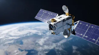
The same principle of persistent observation is also a powerful asset for national security. While meteorological satellites are designed to observe atmospheric phenomena, a different type of geostationary satellite is engineered for high-resolution imaging of the Earth's surface. ISRO's Geo Imaging Satellite (GISAT) program is at the forefront of this effort. Satellites like the recently launched EOS-05 are designed specifically to provide real-time imaging of the Indian landmass and its borders. Unlike LEO surveillance satellites that may only pass over a specific area once every few days, a geostationary imaging satellite can be tasked to observe a point of interest continuously. Reports indicate these satellites can image the entire country every half-hour, with the ability to focus on priority areas and deliver updates as frequently as every five minutes. This capability offers an unprecedented strategic advantage for monitoring troop movements, infrastructure development, and other activities in sensitive zones without interruption from cloud cover, thanks to multi-spectral cameras.
Dual-Use Technology for a Self-Reliant India
The development of a robust geostationary observation network underscores ISRO's focus on creating technologies with dual-use benefits. The same orbital mechanics that allow for tracking a cyclone's path can also be applied to monitoring a volatile border. This capability enhances India's strategic autonomy, reducing reliance on foreign entities for critical weather and intelligence data. Satellites like INSAT-3DR for weather and EOS-05 for imaging represent two sides of the same strategic coin. The former protects citizens from natural disasters, while the latter provides a layer of security against man-made threats. This ecosystem of satellites—from the weather-focused INSAT series to the surveillance-oriented GISAT—works in concert to provide a comprehensive, dynamic portrait of the nation and its strategic environment, managed and controlled from Indian ground stations.