


The Legend and the Tsunami
The myth of the Seven Pagodas has been passed down through generations of local fishermen, who claimed to glimpse submerged structures on rare occasions. This folklore gained startling credibility in the wake of the 2004 Indian Ocean tsunami. As the water
receded dramatically before the wave struck, eyewitnesses reported seeing long rows of large stone structures on the exposed seabed for a brief moment. This event, while devastating, reignited scientific interest and prompted a more concerted effort by institutions like the Archaeological Survey of India (ASI) and the National Institute of Oceanography (NIO) to investigate what secrets the Bay of Bengal held.
Painting a Picture with Sound
Mapping the unknown requires looking without seeing. The primary tool for this is sonar. Marine archaeologists employ side-scan sonar, a system towed behind a survey boat that emits fan-shaped pulses of sound waves across the seafloor. These sound waves bounce off objects and return to the sensor. Hard objects like rock or man-made structures create a strong echo, while soft materials like sand and silt produce a weaker one. A computer then processes these echoes to create a detailed, almost photographic, black-and-white image of the seabed's surface, revealing anomalies that could be walls, foundations, or scattered blocks.
Seeing Beneath the Seafloor
Finding structures on the seafloor is one thing, but what about ruins buried under centuries of sediment? For this, archaeologists use a sub-bottom profiler. This technology works similarly to sonar but uses lower-frequency sound waves that can penetrate sand and mud. By analysing how these waves reflect off different layers beneath the seabed, scientists can identify hard, buried objects that are invisible to regular sonar. This allows them to create a cross-sectional map of what lies beneath the surface, revealing the true extent of buried foundations or fallen walls, giving a three-dimensional perspective to the search.
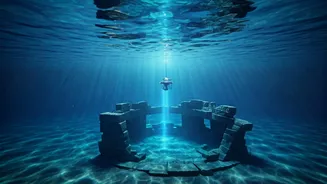
Getting a Closer Look
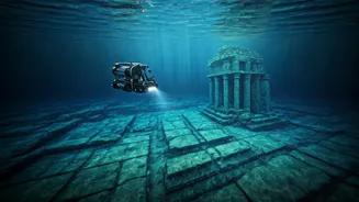
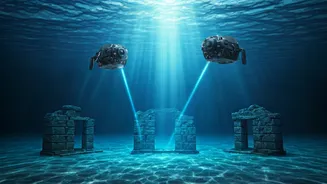
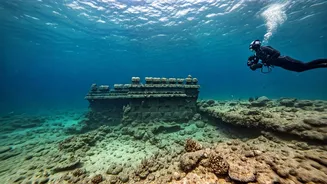
Once sonar and sub-bottom profiling identify a promising target, the next step is visual confirmation. This is where divers and Remotely Operated Vehicles (ROVs) come in. Divers can physically inspect the site, take measurements, and collect samples. However, the waters off Mahabalipuram can have strong currents and poor visibility, making diving challenging. To overcome this, teams increasingly rely on ROVs. These unmanned submersibles are equipped with high-definition cameras, powerful lights, and robotic arms, allowing archaeologists to explore deeper, document sites with precision, and examine delicate structures without disturbing them.
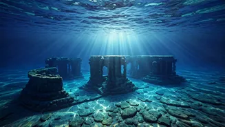
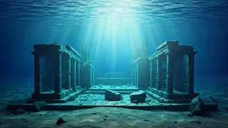
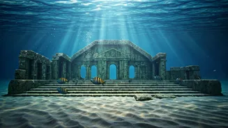
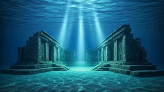
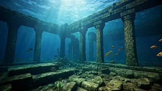
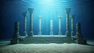
Piecing the Puzzle Together
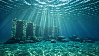
The data from these technologies have confirmed that the legends are rooted in fact. Joint missions by the NIO and ASI have successfully identified submerged walls, scattered dressed stone blocks, and features that appear to be staircases and platforms at depths of 5 to 8 metres. These man-made structures, found up to 800 metres from the current shoreline, suggest the existence of a large, submerged complex. While thick marine growth often obscures details, the alignment and form of the stone blocks point to Pallava-era construction. Some findings even suggest pre-Pallava occupation dating back nearly 2000 years, pointing to a long history of settlement and subsequent submergence.