

More Than Just a Picture
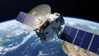
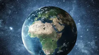
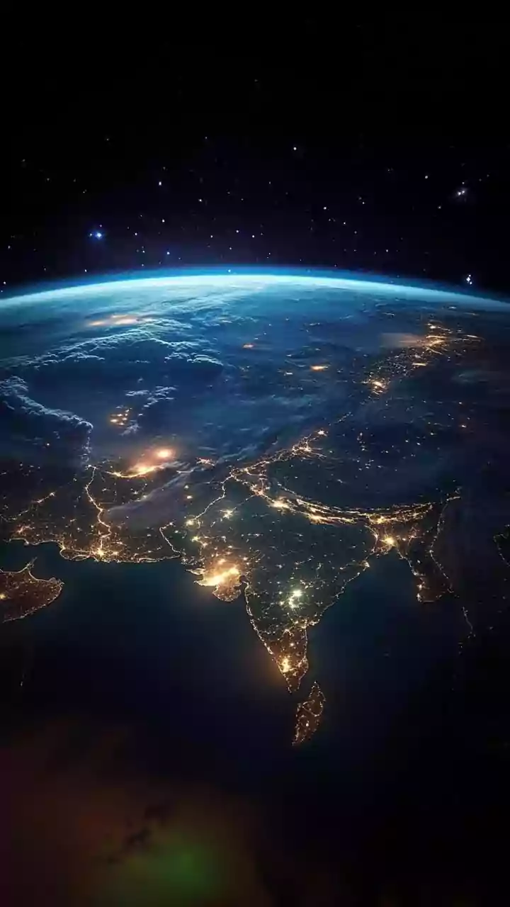
When we think of satellites, we often imagine something like a powerful camera taking photos from space. While that's part of the story, most scientific Earth observation goes far beyond what our eyes can see. Scientists use two main types of sensors:
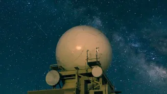
passive and active. Passive sensors are like cameras; they capture natural energy, like sunlight, that is reflected off the Earth's surface. This is great for getting a clear view on a sunny day. Active sensors, on the other hand, create their own energy. They send out a pulse, like a flash from a camera or a ping from a submarine, and measure what bounces back. This category includes technologies like radar and lidar, which have the superpower of seeing through clouds and even at night.
Seeing the Invisible Spectrum
A standard photo captures red, green, and blue light. But what if you could see hundreds of colors? That’s the idea behind hyperspectral imaging. These advanced sensors capture light across a vast spectrum, far beyond human vision. Each material on Earth's surface—whether it’s a type of rock, a species of tree, or a man-made pollutant—has a unique spectral fingerprint. By analysing these fingerprints, scientists can identify specific minerals for geological mapping, detect the early signs of disease in a field of crops before it's visible, or even spot illegal fuel dumping from ships at sea. This turns a simple image into a detailed chemical and biological map, offering incredible insights into environmental health and resource management.
Piercing Through Clouds and Darkness
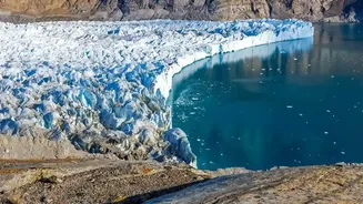
For many parts of the world, especially tropical regions, cloud cover is a constant challenge for optical satellites. This is where Synthetic Aperture Radar (SAR) becomes essential. SAR is an active sensor that sends out microwave pulses and interprets the returning signal. Since microwaves can penetrate clouds, smoke, and darkness, SAR satellites can provide reliable imagery 24/7, regardless of the weather. This capability is crucial for disaster management, such as mapping the full extent of a flood under thick storm clouds or monitoring volcanic activity through ash plumes. By comparing SAR images over time, scientists can also detect tiny changes in the ground surface, measuring land subsidence in cities or the slow, creeping movement of glaciers.
Measuring the Planet's Pulse
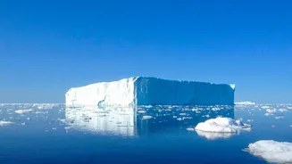
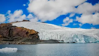
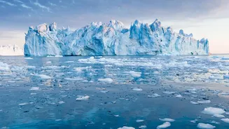
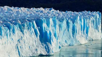
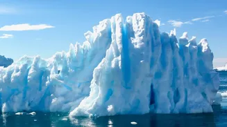
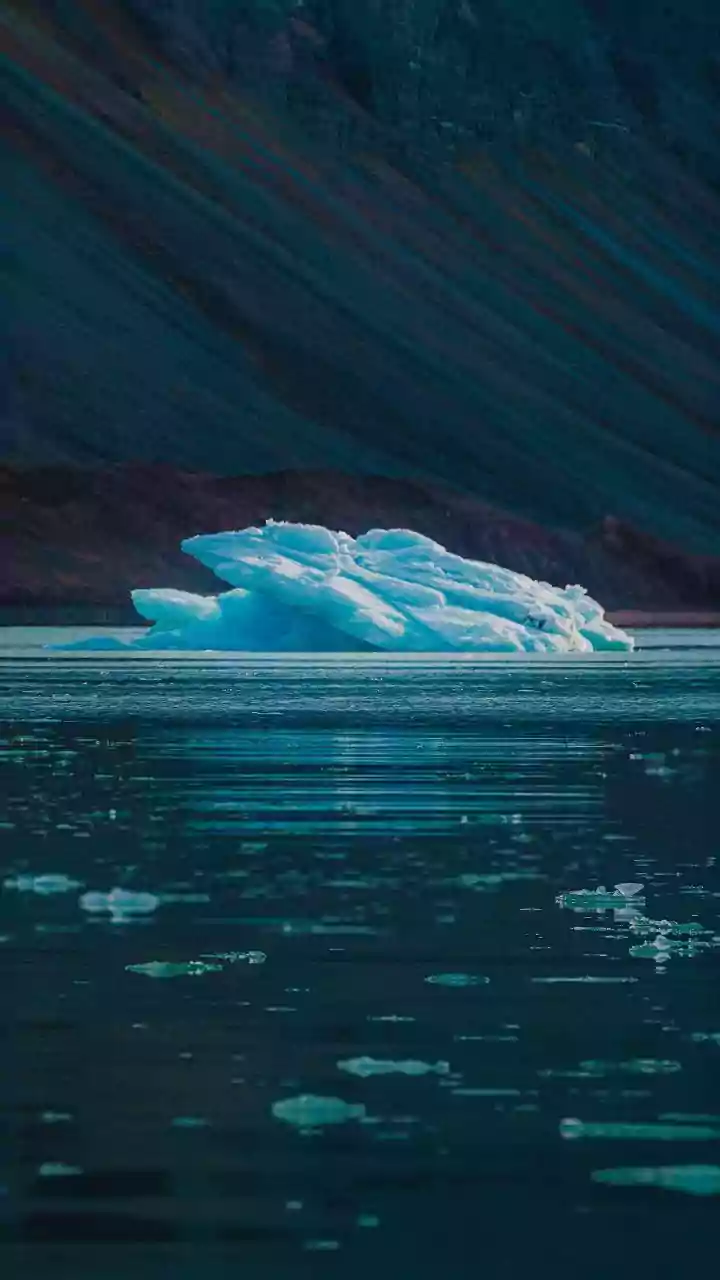
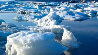
Some satellites aren't designed to take images at all, but to measure height with incredible precision. This is the job of altimeters. A satellite altimeter works by sending a radar or laser pulse down to the surface and timing how long it takes to bounce back. By knowing the satellite's exact position in space, scientists can calculate the height of the surface below to within a few centimetres. This technique is fundamental to monitoring global sea-level rise, as missions have been tracking the subtle but steady increase in ocean height for decades. The same principle is used over land and ice, allowing researchers to measure the changing thickness of the massive ice sheets in Antarctica and Greenland, providing critical data for climate change models.
From Data to Daily Decisions
This flood of data from space doesn't just stay in scientific journals; it informs decisions that affect our daily lives. Satellite information is used to improve weather forecasts and provide early warnings for extreme events like cyclones and heatwaves. Farmers use satellite-derived data to monitor soil moisture and crop health, enabling more efficient use of water and fertilisers in what's known as precision agriculture. Urban planners track city growth, conservationists monitor deforestation, and emergency responders use near-real-time imagery to coordinate efforts during natural disasters like wildfires and floods. Ultimately, this continuous, comprehensive view of our planet is one of our most powerful tools for understanding and navigating a world undergoing rapid change.