








Echoes of a Drowned Kingdom
Ancient Tamil Sangam literature, like 'Silappathikaram' and 'Manimekalai', paints vivid pictures of a thriving maritime civilisation. They speak of bustling ports like Poompuhar, the capital of the Early Cholas, with massive ships and vibrant trade networks
connecting with Rome and Southeast Asia. Yet, for all these literary accounts, physical evidence has been elusive, swallowed by the Bay of Bengal over millennia. Legends persisted of entire cities lost beneath the waves, but these tales remained unverified, a tantalizing gap in India’s rich history. The challenge was immense: how do you find a city buried not just by time, but by the ocean itself?
Painting with Sound
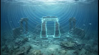
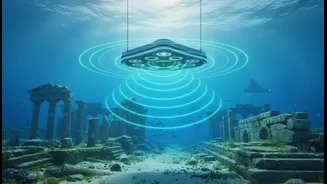
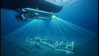
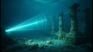
Enter advanced underwater sonar mapping. Think of it as a highly sophisticated ultrasound for the ocean floor. Vessels equipped with multi-beam echo sounders send out pulses of sound, or 'pings'. These sound waves travel to the seabed, bounce back, and are recorded. By measuring the time it takes for each echo to return, scientists can create incredibly detailed three-dimensional maps of the underwater landscape. Technologies like side-scan sonar and sub-bottom profilers can even detect what lies just beneath the sediment. For marine archaeologists, this is a game-changer. Instead of diving blind, they can now scan vast areas of the sea, identifying man-made shapes and anomalies that stand out from the natural terrain, effectively 'seeing' through the water with sound.
The Poompuhar Puzzle
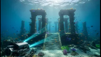
The legendary port of Poompuhar has been a primary focus for researchers from the National Institute of Ocean Technology (NIOT) and the Tamil Nadu State Department of Archaeology. Their sonar surveys off the coast have yielded remarkable results. The data revealed what appears to be a U-shaped structure, interpreted as a potential dock or harbour, at a depth of around 23 metres. Further analysis has mapped out a submerged palaeo-channel of the river Cauvery, suggesting where the ancient river mouth once met the sea. These sonar maps have pointed to scattered brick and stone structures, remains of walls, and other features that align with the description of a large, planned city. While some research speculates these ruins could be thousands of years older than previously thought, the confirmed findings alone strongly suggest a significant portion of the ancient capital now lies underwater.
From Maps to Material Proof
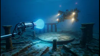
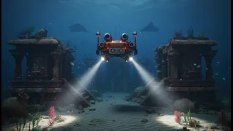
Sonar maps are just the first, crucial step. They provide the treasure map that guides the next phase of exploration. Once a promising anomaly is identified, archaeologists deploy Remotely Operated Vehicles (ROVs) to get a closer look with high-resolution cameras. Divers from the Archaeological Survey of India (ASI) and other agencies then conduct physical investigations based on these precise locations. This was famously done at Mahabalipuram, another site of legendary submerged temples. After the 2004 tsunami briefly exposed some structures, sonar surveys confirmed extensive man-made ruins, believed to be part of the Pallava-era port complex. This combination of high-tech mapping and traditional archaeology is how a 'possible structure' on a sonar screen becomes a confirmed piece of a lost world.
A New Chapter for an Old Story
This technology isn't just about finding old stones; it's about reconstructing a narrative. The findings at Poompuhar and Mahabalipuram, along with planned surveys at the ancient Pandyan port of Korkai, are bridging the chasm between literature and archaeology. They confirm that the ancient Tamils were not only master poets but also incredible engineers who built large-scale urban centres on the coast. These discoveries provide tangible evidence of their maritime prowess, trade networks, and the devastating impact of coastal erosion and sea-level rise over centuries. Each submerged wall and structure mapped by sonar helps rewrite history with greater detail and accuracy, proving that some of India's greatest stories are waiting to be rediscovered right off its shores.