







The Foundation of Our Digital World
Beneath every location-aware app, satellite image, and navigation system lies a fundamental framework known as the Global Geodetic Reference Frame (GGRF). Think of it as the planet's ultimate positioning grid. It’s a highly accurate and stable coordinate
system that allows us to precisely define any location on Earth and is essential for everything from your phone’s map to monitoring climate change. This frame is realised through the International Terrestrial Reference Frame (ITRF), which combines data from four key space-geodetic techniques: Satellite Laser Ranging (SLR), Very Long Baseline Interferometry (VLBI), the Global Navigation Satellite System (GNSS, which includes GPS), and Doppler Orbitography and Radiopositioning Integrated by Satellite (DORIS). The United Nations has even recognised the GGRF as critical infrastructure for sustainable development.
A Planet in Constant Motion
The primary challenge in maintaining the GGRF is that our planet is not static. The Earth’s surface is constantly shifting due to tectonic plate movement, earthquakes, and the movement of water and ice. These changes, though often minuscule, accumulate over time and can introduce errors into the reference frame. To monitor sea-level rise to within millimetres or guide autonomous vehicles with precision, the GGRF needs to be as accurate as possible. Currently, one of the main sources of error comes from trying to combine data from the different geodetic techniques (SLR, VLBI, and GNSS). Each system has its own reference point on the ground, and tiny inaccuracies in measuring the distances between them—what experts call “site tie” errors—can compromise the overall accuracy of the global frame.
Enter GRITSS: A Unifying Force in Space
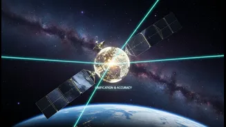
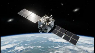
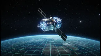
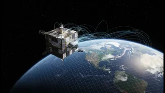
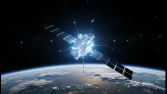
This is where the Geodetic Reference Instrument Transponder for Small Satellites, or GRITSS, comes in. Developed by NASA, this innovative mission uses a small satellite, a CubeSat about the size of a suitcase, to act as a single, unified reference point in space. Launched in July 2026, the GRITSS satellite orbits the Earth and can be observed simultaneously by the three major ground-based tracking systems: GNSS receivers, VLBI radio telescopes, and SLR lasers. By providing a common target in the sky, GRITSS aims to eliminate the “site tie” errors that occur on the ground, effectively tying the different measurement systems together with unprecedented accuracy.
How the Technology Works
The technology aboard GRITSS is clever. It carries a special GPS receiver that captures navigation signals. Onboard processors then upconvert these signals in real-time to S-band and X-band frequencies, which are the frequencies used by VLBI radio telescopes. It then broadcasts these converted signals back to Earth. At the same time, the satellite is equipped with a laser retroreflector, a special mirror that allows SLR ground stations to bounce lasers off it and measure the distance precisely. By having one satellite communicate with all three systems, GRITSS creates a direct link between them, allowing scientists to correlate their data and create a much more stable and accurate reference frame. The mission's goal is to help achieve an accuracy of just 1 millimetre for the ITRF.
What It Means for India
A more accurate global reference frame has significant implications for India. The country's own geodetic infrastructure, which is crucial for defence, mapping, and development, relies on being aligned with global standards like the ITRF. Improvements driven by technologies like GRITSS will flow down to national applications. This includes enhancing the precision of the Survey of India's Continuously Operating Reference Stations (CORS) network, which provides the foundation for accurate positioning across the country. More precise data will benefit everything from land record modernization and smart city development to disaster management for tsunamis and monitoring crustal deformation. For a nation increasingly reliant on geospatial intelligence for strategic planning and economic growth, a stronger GGRF is an invaluable asset.