






An Invisible Problem Made Visible
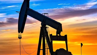
The Permian Basin, stretching across west Texas and southeastern New Mexico, is the engine of America's oil production. But alongside this energy output comes a significant, invisible byproduct: methane. As a greenhouse gas, methane is over 80 times more
potent than carbon dioxide in its first two decades in the atmosphere, making it a critical factor in near-term climate change. For years, the amount of methane escaping from the tens of thousands of wells, pipelines, and processing facilities in the region was largely self-reported by operators. Recent data has shown these estimates were far from complete. This gap between reported figures and reality highlighted the need for a more accurate, independent system of measurement, setting the stage for a technological revolution in environmental monitoring.
The View From Above
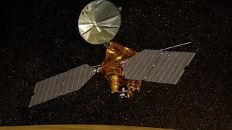
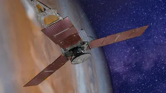
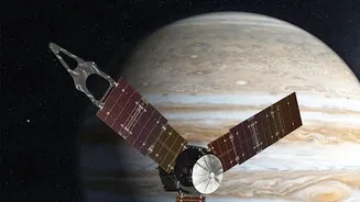
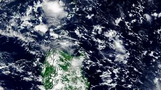
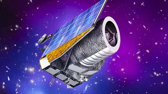
Enter the 'eyes in the sky'. A new wave of advanced satellites, launched by organizations like the Environmental Defense Fund (MethaneSAT) and the Carbon Mapper coalition, are now circling the globe with a specific mission: to find and quantify large-scale methane emissions. These instruments are far more precise than their predecessors, able to pinpoint significant plumes from space and, in many cases, trace them back to specific facilities on the ground. One analysis of data from MethaneSAT, which collected information from May 2024 to June 2025, found that actual emissions in the Permian were approximately four times higher than what companies reported to the Environmental Protection Agency (EPA). This granular, publicly available data changes everything. What was once a matter of estimation and debate is now a verifiable fact, visible to regulators, investors, and the public alike.
From Data to Action
The release of this satellite data has created a powerful accountability loop. In March 2026, the stark discrepancy between reported and observed emissions prompted a formal investigation by Senator Sheldon Whitehouse, who demanded answers from eight of the basin's largest producers. This political pressure is compounded by new EPA regulations that can levy fees on companies for excessive methane emissions. Beyond regulation, the data creates reputational and financial risk. With non-profits like Carbon Mapper now able to identify and rank 'super-emitters'—sometimes linking them to specific operators—companies can no longer hide behind regional averages. This transparency is a direct threat to a company's social license to operate and is increasingly influential for investors who prioritize environmental, social, and governance (ESG) performance.
The Race to Upgrade
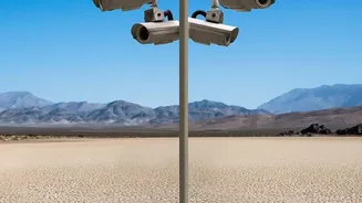
The immediate result of this heightened scrutiny is an acceleration of infrastructure investment. Faced with undeniable evidence of leaks and the potential for financial penalties, operators are moving more quickly to modernize their equipment. This includes deploying continuous monitoring systems, using optical gas imaging cameras for frequent leak detection and repair (LDAR) programs, and replacing older, leak-prone components like pneumatic controllers. Some analyses suggest that these voluntary efforts, driven by a combination of new technology and regulatory pressure, are already having an impact. One report from S&P Global noted a significant decline in the Permian's methane emissions intensity between 2023 and 2024, attributing it to improvements in equipment and the deployment of better detection technology. The satellite data also provides a clear business case for these upgrades. Leaked methane is, after all, wasted natural gas—a saleable commodity lost to the atmosphere.