







The Eyes in the Sky
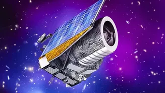
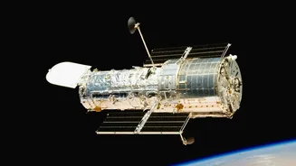
At the heart of this nationwide support system is the Indian Space Research Organisation (ISRO) and its sophisticated constellation of satellites. This isn't just one satellite, but a multi-layered network designed for different purposes. The Indian Remote
Sensing (IRS) satellites, for instance, are Earth observation workhorses, capturing detailed images of the land. The INSAT series focuses on meteorology and communication, crucial for weather forecasts and broadcasting warnings. More recently, the Navigation with Indian Constellation (NavIC) system provides precise location data, similar to GPS but tailored for India and its surrounding region. Together, these satellites form a powerful web of information, gathering data that is then processed and channelled into actionable insights for various national programmes.
A High-Tech Hand for Agriculture
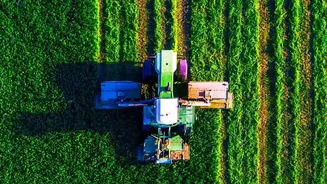
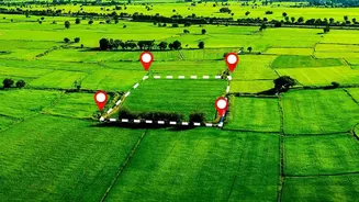
For India's vast agricultural sector, this technology is a game-changer. Gone are the days of relying solely on traditional almanacs. Today, satellite data powers a new era of precision farming. Programmes like FASAL (Forecasting Agricultural output using Space, Agro-meteorology and Land-based observations) use satellite imagery to provide early estimates of crop production for major staples like rice and wheat. Another initiative, the Krishi-Decision Support System (Krishi-DSS), acts as a comprehensive platform providing farmers with real-time data on soil health, weather patterns, and water resources. This allows them to make informed decisions about when to sow, how much fertiliser to use, and the optimal time to irrigate, ultimately boosting crop yields and reducing waste. Satellite data even helps in assessing crop damage for insurance claims under schemes like the Pradhan Mantri Fasal Bima Yojana (PMFBY).
From Drought Warning to Water Management
Water, a farmer's most critical resource, is also managed more effectively thanks to space technology. The National Agricultural Drought Assessment and Monitoring System (NADAMS) uses satellite data to provide regular updates on drought conditions across the country. This early warning system enables authorities to implement mitigation strategies before a crisis fully develops. Satellites can monitor soil moisture levels, assess the health of vegetation, and track water levels in reservoirs, providing a holistic view of the water situation. This information is invaluable for planning irrigation schedules and promoting efficient water use, a critical advantage in a country where monsoons can be unpredictable and water scarcity is a growing concern.
Guardian Against Natural Calamities
When disaster strikes, every second counts. India, a country prone to cyclones, floods, and landslides, heavily relies on its satellite network for disaster management. ISRO's Disaster Management Support (DMS) Programme is a comprehensive system that provides vital information before, during, and after a natural disaster. Before a cyclone makes landfall, meteorological satellites track its path and intensity, allowing authorities to issue timely evacuation orders. During a flood, satellites provide near real-time inundation maps, showing which areas are submerged and helping rescue teams from the National Disaster Response Force (NDRF) navigate to those most in need. This information is disseminated through dedicated portals like Bhuvan and the National Database for Emergency Management (NDEM), ensuring that it reaches decision-makers quickly.
Assessing Damage and Aiding Recovery
The role of satellites doesn't end once the storm has passed. In the aftermath of a disaster, remote sensing satellites are used to carry out rapid damage assessment. By comparing 'before' and 'after' images, officials can determine the extent of destruction to infrastructure, homes, and agricultural land without having to immediately send teams into potentially hazardous areas. This assessment is crucial for planning relief and rehabilitation efforts, directing resources to the worst-hit regions, and getting communities back on their feet. Furthermore, satellite communication systems often provide the only reliable link for communication when terrestrial networks are down, ensuring that coordination among relief agencies remains unbroken.