




More Than Meets the Eye
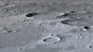
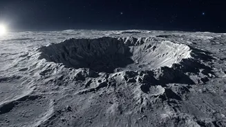
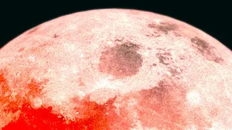
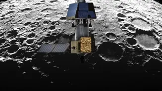
To the naked eye, the Moon is a landscape of monochrome plains and craters. However, using advanced cameras and spectrometers on probes like the Lunar Reconnaissance Orbiter (LRO), scientists have created vibrant, colour-enhanced maps of its surface.
These are not the colours an astronaut would see, but rather a visual representation of the Moon's diverse geology and chemical composition. This technique, called multispectral imaging, captures light beyond the visible spectrum, turning subtle mineral differences into a detailed geological roadmap that is now at the heart of the Artemis program's scientific goals.
Decoding the Lunar Palette
Every colour on these new maps tells a story. The famous dark plains, or 'maria', often show up in shades of blue and purple, indicating high concentrations of titanium and iron in the ancient volcanic basalt. In contrast, the lighter-coloured highlands appear in shades of red and brown, representing different mineral compositions, specifically feldspar-rich rock. These colours also betray the 'age' of the surface; younger craters expose fresh, unweathered rock, which appears as distinct splashes of colour against the older, space-weathered terrain. By studying this palette, researchers can trace the Moon’s violent volcanic past and identify deposits of valuable materials.
The Artemis II Mission's Real Goal
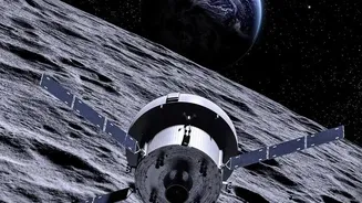
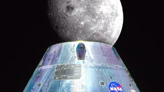
While Artemis II will not land on the Moon, its crew will be the first humans to see these features up close in half a century. A primary science objective for the mission is to use these colour maps to guide their observations from lunar orbit. The astronauts are being trained as expert geological scouts. They will photograph specific areas of interest—identified by their unique colour signatures—in far greater detail than any robotic probe can. Their work is crucial reconnaissance, ground-truthing the data from orbit and helping mission planners pinpoint the most promising locations for future landings.
A Roadmap for Future Astronauts
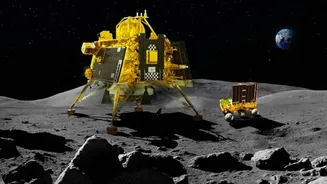
The data gathered and verified by the Artemis II crew will directly inform where the Artemis III mission—the first to land humans on the Moon since 1972—will touch down. NASA is particularly interested in the lunar South Pole, where permanently shadowed craters may hold deposits of water ice. The colour maps are essential for identifying areas that are not only rich in potential resources like water and oxygen-bearing minerals but are also scientifically compelling. Choosing a landing site is a balancing act between safety, science, and resource potential, and these geological colour codes provide the most detailed guide ever created.
Seeing Our Moon in a New Light
This focus on the Moon's composition is transforming our relationship with our nearest celestial neighbour. It is no longer just a grey, dusty destination for leaving flags and footprints. Instead, scientists see it as a dynamic and complex world—a repository of resources that could fuel future exploration and a museum holding 4.5 billion years of solar system history. The ability to read the story written in its surface colours is fundamental to this new era of sustainable lunar presence. It underscores that the next giant leap will be guided not just by ambition, but by a deeply scientific understanding of the world awaiting us.