


Kerala’s Rich and Fragile Realm
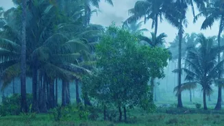
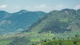
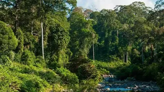
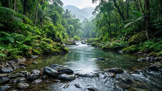
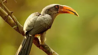
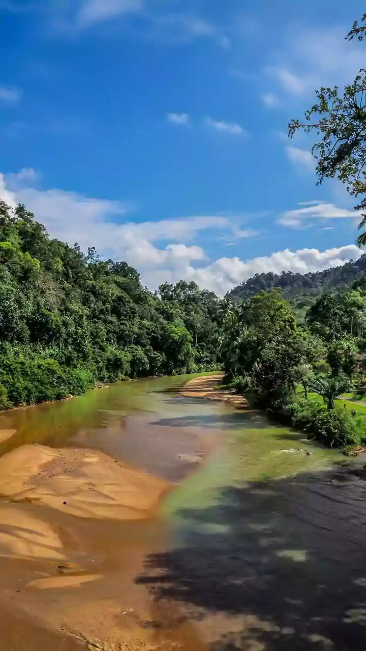
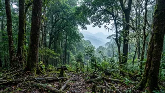
Kerala, defined by the rain-soaked Western Ghats, is one of the world’s most important biodiversity hotspots. This region is teeming with endemic species—plants and animals found nowhere else on Earth. However, this natural wealth is under immense pressure.
Habitat loss due to expanding agriculture and urbanisation, human-wildlife conflict, and climate change are fragmenting these once-vast ecosystems. Organisations like the Kerala Forest Research Institute (KFRI) are at the forefront of conservation, working to understand and protect this delicate balance before it's too late. Their work is crucial, shifting from a species-by-species approach to assessing the health of entire ecosystems.
The Search for Vulnerable Species
Identifying a threatened species begins with a fundamental question: how many are left and where do they live? Scientists employ a mix of traditional and cutting-edge techniques to find answers. Field surveys are the bedrock, involving researchers physically trekking through forests to conduct population counts and observe animal behaviour. This is often supplemented with camera traps, which provide a non-invasive way to monitor elusive and nocturnal animals, capturing images that confirm their presence and offer insights into their population density. More recently, environmental DNA (eDNA) has become a powerful tool. Animals shed genetic material through skin, faeces, and hair, leaving traces in soil and water. By analysing these samples, scientists can detect the presence of species, including rare ones, without ever seeing them.
From Detection to Assessment
Simply finding a species is just the first step. To determine if it is threatened, scientists must assess the specific dangers it faces. This involves detailed studies on its population dynamics, reproductive challenges, and habitat quality. For instance, researchers at KFRI investigate biological issues like pollination problems or seed viability that might make a species naturally rare. They compile this information into comprehensive databases, often using the rigorous criteria set by the International Union for Conservation of Nature (IUCN) Red List. This framework helps categorise species as Vulnerable, Endangered, or Critically Endangered based on factors like population decline, geographic range, and number of mature individuals.
Mapping Nature’s Highways
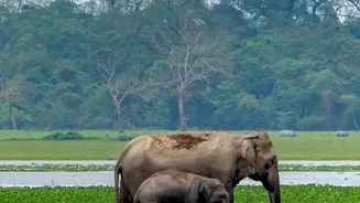
Animals need to move. They travel to find food, mates, and new territories. When their habitats become fragmented islands, these journeys are cut off, leading to inbreeding and local extinctions. This is where wildlife corridors—natural pathways connecting fragmented forests—become essential. Identifying these corridors is a critical conservation task. For large mammals like elephants and tigers, these corridors are lifelines that allow for genetic exchange between populations across states like Kerala, Tamil Nadu, and Karnataka. Human-wildlife conflict often intensifies in and around these corridors, as is seen in regions like Wayanad, making their formal identification and protection a priority.
Technology Lights the Way
Scientists use powerful geospatial technology to map these vital corridors. Geographic Information Systems (GIS) are at the heart of this work. Researchers overlay multiple layers of data on a digital map, including satellite imagery of forest cover, topography, locations of water bodies, and human settlements. This allows them to model the most likely paths an animal would take. For instance, by radio-collaring an elephant, they can track its exact movements and see how it navigates the landscape. This real-world data is then fed into GIS models to validate and refine the predicted corridors. Newer methods even use principles from game theory to predict an animal's 'strategic' decisions, weighing the rewards of a prey-rich forest against the risks of crossing a highway.