




The Planetary Data Deluge
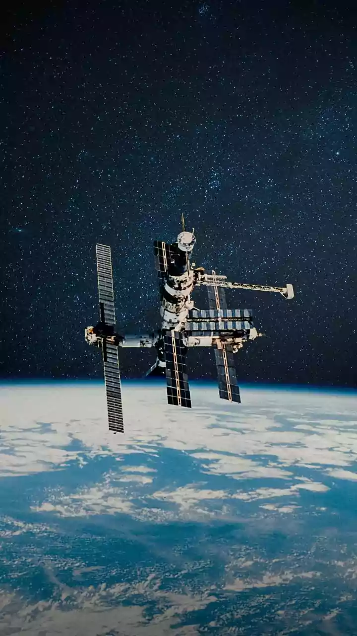
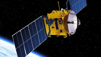
Modern satellites are powerful eyes in the sky, monitoring everything from ocean currents and atmospheric aerosols to the health of forests and the extent of wildfires. Missions like NASA's PACE (Plankton, Aerosol, Cloud, ocean Ecosystem) satellite are designed
to provide an unprecedented look at how our oceans and atmosphere interact. These missions generate petabytes of data—so much that scientists on the ground can struggle to download, process, and analyze it in time to react to fast-moving events. Traditionally, the process involves beaming massive, raw datasets back to Earth, where they are then painstakingly sorted and studied. This latency means that by the time an insight is found, the window for an early response to a developing environmental hazard might have already closed.
Giving Satellites an AI Upgrade
To solve this problem, NASA is turning to artificial intelligence. In collaboration with partners like IBM and Microsoft, the agency has been developing sophisticated AI foundation models. These models are trained on decades of historical Earth observation data, allowing them to recognize patterns, identify anomalies, and even fill in gaps in data caused by things like cloud cover. The most transformative step is moving some of this analytical power from ground stations directly onto the satellites themselves. This concept, known as onboard processing or edge computing, allows the satellite to pre-analyze data as it's being collected. Instead of sending everything, the satellite can prioritize and send back only the most critical information.
How It Works: A Smart Filter in Orbit
Think of the AI as an intelligent filter. As the satellite orbits, its sensors collect a continuous stream of imagery and measurements. The onboard AI can sift through this data in real time, looking for specific signatures. For example, it could be trained to recognize the unique spectral signature of a harmful algal bloom forming in coastal waters or the heat signature of a new wildfire igniting in a remote forest. When the AI detects such an event, it can autonomously flag that specific data as high-priority. It can even command the satellite to focus its instruments on the area for more detailed observation, all without waiting for instructions from a human controller millions of miles away. This reduces the sheer volume of data being sent to Earth and dramatically speeds up the timeline from observation to insight.
From Months to Minutes
The impact of this shift is profound. Analysis that once took researchers weeks or months can now be performed in near real-time. For time-sensitive events like natural disasters, the benefits are obvious. Emergency response teams can get faster, more accurate assessments of flood inundation or wildfire spread, allowing them to allocate resources more effectively. But the applications extend far beyond disaster response. In agriculture, AI-processed satellite data can give farmers early warnings about crop stress or soil moisture deficits. For public health, it can help track the movement of airborne pollutants or predict the outbreak of waterborne diseases. This acceleration transforms data from a historical record into an actionable, predictive tool.
A New Era for Climate Science
For climate scientists, these AI models represent a new frontier. By automating the initial stages of data analysis, researchers can spend less time sifting through raw information and more time focusing on what it means. The AI can uncover subtle, long-term trends in global datasets that might be missed by human analysts, improving the accuracy of climate models. Projects like the joint NASA-IBM foundation model, known as Prithvi-weather-climate, are being made open-source, allowing a global community of researchers to build upon them. This democratization of data analysis promises to accelerate our collective understanding of Earth's complex systems at a moment when that understanding has never been more critical.