






Beyond Destination: Forecasting Your Entire Route
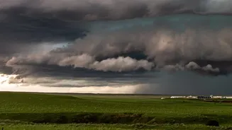
For years, weather apps have told us the forecast for our destination. But what about the journey itself? A clear sky at home means little if you are heading into a storm halfway through your trip. The IMD has addressed this with its Route Forecast Tool,
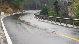
a specialised service designed for travellers. Instead of providing a single-point forecast, this tool provides weather updates mapped seamlessly across your entire travel path. Whether you are driving on a national highway or commuting across a large city, you can now see forecasted conditions for every leg of your journey, helping you anticipate changes in weather, temperature, and wind. This moves planning from reactive to proactive, allowing you to choose the best time to start your trip or even alter your route to avoid the worst of the weather.
How to Use the Route and Hyper-Local Tools
Accessing this data is straightforward. The Route Forecast tool is available through the IMD's Geospatial Services portal. For even more granular detail, the IMD also offers MausamGram, a hyper-local forecast portal. This service provides weather information right down to the village, town, or PIN code level. You can search by location name or even coordinates to get hourly forecasts for the next day and a half, and 3-hourly forecasts for up to five days. By combining the Route Forecast tool with spot-checks on MausamGram for key points along your journey, you can build a highly detailed picture of the weather you will encounter, allowing you to time your breaks and transfers more effectively.
The Power of Live Radar Imagery
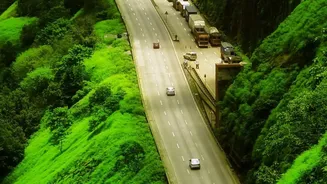
A percentage chance of rain for a whole city can be misleading. Monsoon showers are often highly localised; it can be pouring in one neighbourhood while another remains completely dry. This is why the live radar feature within the IMD's main 'Mausam' app is so essential. The radar provides a visual representation of cloud movement and rainfall intensity, updated every few minutes using IMD's network. For a commuter, this means you can see if a rain cell is moving toward your route in real-time. This is particularly crucial in areas where rainfall can cause secondary problems, like waterlogging on key arterial roads or rising river levels near highways like NH48. By checking the radar before you leave, you can make a last-minute decision to delay your trip by 30 minutes and potentially avoid hours of traffic.
A Suite of Apps for Total Weather Awareness
The Route Forecast tool is part of a broader ecosystem of digital services the IMD provides to keep citizens safe. The primary 'Mausam' mobile app is a must-have, offering city forecasts, warnings, and the crucial radar imagery. For those in rural areas, the 'Meghdoot' app provides agriculturally focused advisories that are also useful for general awareness. Perhaps most critically, the 'Damini' app provides specific alerts for lightning strikes within a 20 km radius of your location, a vital safety feature during thunderstorm season. All these services are available through the UMANG app as well, creating a central hub for government services. Using these tools together gives you a comprehensive understanding of weather risks.
The Future: AI and Hyper-Local Accuracy
The technology powering these forecasts is constantly improving. The IMD has begun rolling out advanced, Artificial Intelligence-powered weather models. A pilot system launched in Uttar Pradesh, for example, can generate rainfall predictions for an area as small as one square kilometre, with a forecast window of up to 10 days. This system uses AI to downscale data from various sources, including automatic weather stations and Doppler radars, to create ultra-high-resolution predictions. As these AI models are calibrated and extended to other states, the accuracy of tools like the Route Forecast and MausamGram will become even more remarkable, giving citizens an unprecedented ability to plan their lives around the weather with confidence.