






What Caused the Flood Alert?
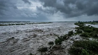
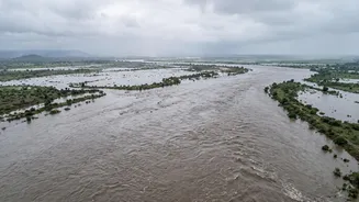
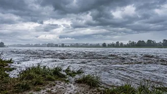
The immediate cause for the alert was a flash flood in Nepal on Wednesday, reportedly linked to an earthquake in the Tibet region that may have caused a glacial outburst. This event led to a sudden and significant rise in the water level of Nepal's Bhote
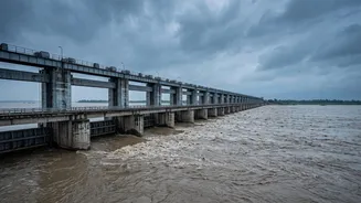
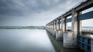
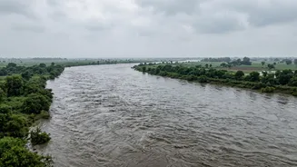
Koshi and Trishuli rivers. These rivers are tributaries that feed into the Narayani river in Nepal, which is known as the Gandak river once it enters India through Bihar's West Champaran district. This direct hydrological connection means that a massive surge of water upstream in Nepal travels downstream, posing a direct threat to the plains of North Bihar. In response, authorities opened all 36 gates of the Valmikinagar Barrage on the Gandak to manage the flow of water entering the state.
Which Districts Are on High Alert?
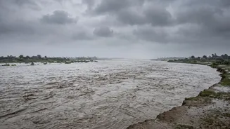
The Bihar government has specifically ordered special vigilance in at least six districts. The areas considered most at risk and where preparations are focused are West Champaran, East Champaran, Gopalganj, Muzaffarpur, Saran, and Vaishali. Alerts have also been extended to other vulnerable districts like Sitamarhi and Sheohar. These districts are situated along the Gandak river basin, making their low-lying areas particularly susceptible to inundation when the river swells. West Champaran is the entry point for the Gandak into Bihar and is often the first to bear the impact. From there, the river flows south, affecting the other districts on the list.
How Are Authorities Responding?
The state's disaster management apparatus has been fully activated. Bihar's Chief Secretary, Pratyaya Amrit, held high-level meetings with the district magistrates and police chiefs of the affected areas to coordinate the response. Multiple teams from the National Disaster Response Force (NDRF) and the State Disaster Response Force (SDRF) have been deployed to vulnerable locations, particularly in West Champaran, Gopalganj, and Muzaffarpur. District officials have been instructed to begin evacuating people from low-lying areas and villages situated near the river's embankments. In West Champaran, evacuations were already underway in several panchayats, with residents being moved to safer locations. Community kitchens and relief shelters are being prepared to provide food and shelter for those displaced. Additionally, all leave for engineers and staff in the Water Resources Department has been cancelled to ensure 24/7 monitoring of river embankments.
A Perennial Monsoon Threat
For North Bihar, the threat of transboundary floods is an unfortunate and recurring reality of the monsoon season. The state's geography, with numerous rivers flowing down from the Himalayas in Nepal, makes it a basin for vast quantities of water. The Gandak and Kosi rivers, in particular, are notorious for causing widespread flooding. Every year, heavy monsoon rains in the catchment areas of these rivers in Nepal lead to a surge in water levels downstream in Bihar. This annual cycle necessitates a constant state of preparedness from July to September. The India-Nepal relationship involves treaties and continuous communication on water management, especially concerning the Kosi and Gandak barrages, which are critical for controlling water flow and mitigating the worst impacts of these seasonal floods.