





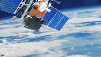
India's Eyes in the Sky
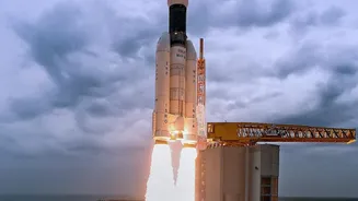
The Indian Space Research Organisation (ISRO) has developed a sophisticated network of Earth Observation Satellites (EOS) that act as a crucial force multiplier for the nation's defence and intelligence agencies. This constellation of satellites provides
a formidable surveillance capability, allowing authorities to monitor vast and often inaccessible border regions with unprecedented clarity and frequency. These are not just ordinary cameras in space; they represent a significant leap in India's strategic autonomy, ensuring that the nation has a clear, independent, and persistent view of activities in areas of strategic interest. This capability is vital for monitoring India's extensive land borders and long coastline.
Beyond Daylight and Clear Skies
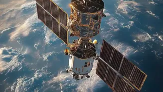
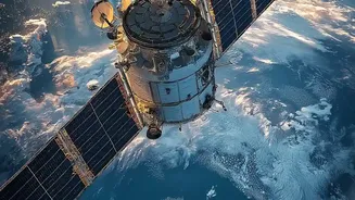
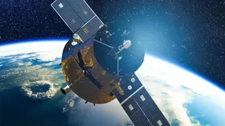
The term '24-hour surveillance' points to a specific technological marvel: Synthetic Aperture Radar (SAR). Unlike traditional optical satellites that are essentially powerful cameras requiring daylight and clear weather, SAR-equipped satellites can see through clouds, fog, and the dark of night. ISRO's RISAT (Radar Imaging Satellite) series is the backbone of this all-weather capability. By transmitting their own microwave signals and interpreting the returning echoes, these satellites create detailed images of the ground below, regardless of weather conditions or time of day. This ensures that there are no blind spots or downtimes in surveillance caused by monsoons or winter fog, which are common along India's borders. The development was fast-tracked after the 2008 Mumbai attacks highlighted the need for uninterrupted surveillance.
Two Orbits, One Mission
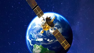
ISRO employs a dual-pronged approach using satellites in two different orbits for comprehensive monitoring. Many imaging satellites like the Cartosat and RISAT series operate in a Low Earth Orbit (LEO), typically a few hundred kilometres high. This proximity allows them to capture extremely high-resolution images, capable of identifying objects as small as 0.35 metres. However, LEO satellites are constantly moving and can only revisit a specific location periodically. To solve this, ISRO is also deploying satellites like the upcoming EOS-05 into a much higher Geosynchronous Orbit (GEO) at about 36,000 kilometres. A satellite in GEO matches the Earth's rotation, allowing it to 'hover' over the Indian subcontinent. This provides continuous, real-time observation of a large area, perfect for tracking developing situations like troop movements, natural disasters, or cyclones without any time lag.
Strategic Advantage at the Borders
For India's defence planners, this satellite capability is a game-changer. The ability to get timely and accurate intelligence over strategic border locations, particularly along the Line of Control (LoC) with Pakistan and the Line of Actual Control (LAC) with China, is invaluable. Satellites can detect the build-up of military infrastructure, track troop and vehicle convoys, and monitor remote posts in high-altitude terrain that is difficult to patrol physically. This persistent monitoring serves as an early warning system, enabling faster decision-making and response. It reduces the element of surprise for adversaries and provides verifiable data to counter false narratives. The integration of this space-based intelligence directly with the armed forces enhances the effectiveness of network-centric warfare and overall operational preparedness.
More Than Just Defence
While the strategic and military applications are profound, the benefits of ISRO's EOS constellation extend far beyond national security. The very same satellites that watch over our borders provide critical data for a host of civilian applications. Their all-weather imaging is vital for disaster management, enabling authorities to map flood-affected areas, track cyclones, and assess landslide damage in real-time. This data is also used extensively in agriculture for monitoring crop health, in urban planning, managing water resources, and tracking environmental changes like deforestation. This dual-use nature makes the investment in space technology a powerful engine for national development as well as security.