






The Challenge of the Coastline
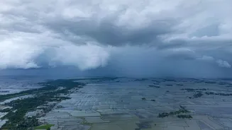
India's more than 7,500-kilometre coastline is an economic engine and home to major population centres. However, this also makes it highly susceptible to the destructive power of storm surges—abnormal rises in sea level generated by powerful storms, primarily
cyclones and intense monsoons. These surges can inundate low-lying areas with devastating speed, causing widespread destruction and loss of life. For disaster management agencies, the key to saving lives is timely and accurate prediction. The earlier an accurate warning can be issued, the more time there is for evacuations and protective measures. This is where the critical role of space-based observation comes in, providing a wide-area, continuous view that ground-based instruments simply cannot match. For years, ISRO has been the nation's vanguard in this effort, using a constellation of satellites to monitor oceanic and atmospheric conditions.
ISRO’s Eyes on the Ocean
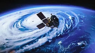
ISRO's ocean-monitoring capabilities are led by the Oceansat series of satellites. Beginning with Oceansat-1 in 1999, these spacecraft have been dedicated to oceanographic studies. The most recent in this series, Oceansat-3 (also known as EOS-06), launched in November 2022, carries advanced instruments to observe ocean colour, sea surface temperature, and wind data. A key instrument for tracking storm development is the scatterometer. This specialised radar instrument measures the roughness of the ocean surface, from which scientists can derive wind speed and direction. This data is fundamental to understanding and forecasting the formation and intensification of cyclones and monsoon depressions over the vast, often data-sparse, ocean. The Oceansat-2 had a Ku-band scatterometer (OSCAT) which was instrumental, and its legacy was continued by SCATSAT-1, a mission launched specifically to ensure there was no gap in this crucial data stream.
A New Generation of Radar
The latest upgrade in ISRO's capacity comes from the recently operationalised NASA-ISRO Synthetic Aperture Radar (NISAR) mission. Launched in mid-2025, NISAR is the world's first satellite to use dual-frequency radar (L-band and S-band). This technological leap significantly enhances the ability to see through clouds and operate day and night, which is crucial for monitoring monsoon systems that are, by nature, cloud-covered. While the headline refers to oceanographic satellites, the S-band radar component, developed and operated by ISRO, is now providing unprecedented data on Earth’s surface, including coastal areas. Its ability to map coastal inundation, wetland changes, and shoreline dynamics with high resolution gives forecasters a powerful new tool. The radar's 12-day repeat cycle provides a consistent, reliable stream of information to track changes over time.
How Better Radar Improves Surge Tracking
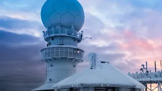
Better radar technology translates directly into better storm surge predictions. The high-resolution, all-weather data from Synthetic Aperture Radar (SAR), like that on NISAR, offers several advantages. Firstly, it allows for more precise mapping of wind fields over the ocean, which are the primary drivers of storm surges. By getting a more accurate picture of a storm's intensity and structure, meteorological models can produce more reliable forecasts about the height and timing of the surge. Secondly, SAR can precisely map the coastline and its topography. This information is vital for surge models, as the local shape of the seabed and coast determines how a surge will behave as it comes ashore. Finally, in the aftermath of an event, the same radar can be used to map the extent of flooding with incredible accuracy, even through cloud cover, guiding rescue and relief efforts more effectively than ever before.
Beyond Monsoons: A Multipurpose Tool
While enhanced monsoon surge tracking is a primary benefit for India, the applications of this upgraded radar capacity are far-reaching. The data from missions like NISAR and the Oceansat series are invaluable for a host of other uses. These include identifying potential fishing zones for the fishing community, monitoring the health of marine ecosystems like mangroves which act as natural storm barriers, tracking oil spills, and ensuring maritime security. The ability to monitor land subsidence and the movement of glaciers and ice sheets also has profound implications for climate change research. By investing in and collaborating on these advanced technologies, ISRO is not only safeguarding Indian coasts but also contributing vital data to the global scientific community, helping to understand our changing planet on a broader scale.