


The Unblinking Eye on a Warming World
For decades, understanding climate change was like trying to solve a puzzle with most of the pieces missing. Ground-based sensors could only tell us what was happening in one specific spot, and models were based on complex calculations with built-in uncertainties.
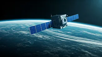
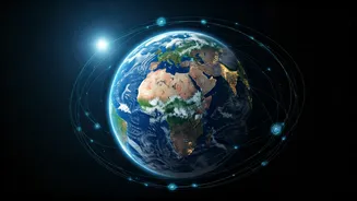
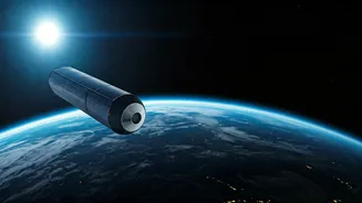
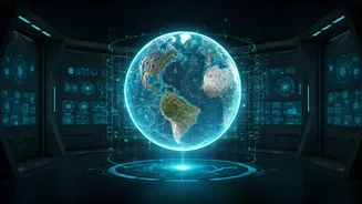
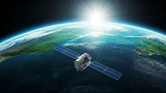
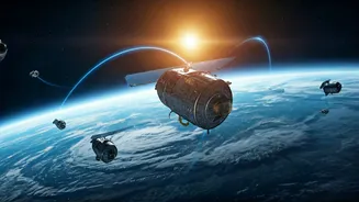
Satellites have changed the game entirely. Orbiting hundreds of kilometres above us, they provide a continuous, planet-wide view, measuring everything from the temperature of the sea surface to the thickness of polar ice. This constant stream of data isn't just academic; it's the foundation of modern climate science. It gives us the big picture, revealing trends over decades that would be impossible to see from the ground. This global perspective is what allows scientists to say with confidence that the planet is warming, sea levels are rising, and weather patterns are shifting.
Hunting for Invisible Greenhouse Gases
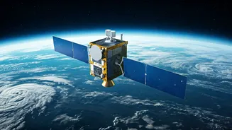
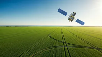
One of the most powerful new roles for satellites is hunting down methane. While carbon dioxide gets most of the attention, methane is a far more potent greenhouse gas in the short term, trapping over 80 times more heat. The problem? It's invisible, and leaks from oil and gas facilities, pipelines, and even landfills can go undetected for years. Specialised satellites, however, can 'see' these methane plumes from space. Projects like the Environmental Defense Fund’s MethaneSAT and data from the European Space Agency's Sentinel-5P satellite act like planetary detectives. They can pinpoint the exact source of a major leak, sometimes down to a single piece of equipment. This information is transformative. Instead of relying on companies to self-report, governments and environmental groups can now identify polluters in near real-time and demand action. It turns an invisible threat into a solvable problem.
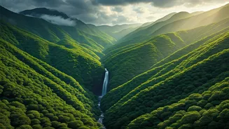
Guarding the Planet’s Lungs
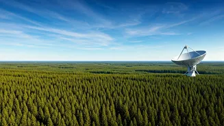
Forests, especially tropical rainforests like the Amazon, are crucial for absorbing CO2 from the atmosphere. But illegal logging and agricultural expansion are destroying them at an alarming rate. Monitoring this destruction on the ground is dangerous and inefficient. Here again, satellites provide a critical solution. Using high-resolution imagery, satellites operated by agencies like NASA and private companies can detect changes in forest cover with stunning accuracy. Advanced systems can now even send out alerts within days—or sometimes hours—of new deforestation activity. This data allows authorities in countries like Brazil and Indonesia to dispatch enforcement teams to stop illegal clearing before vast areas are lost. It also provides the proof needed to hold companies accountable for deforestation in their supply chains, creating market pressure to protect these vital ecosystems.
Measuring a Changing Ocean
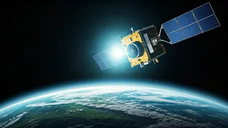
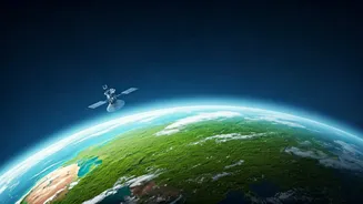
The world's oceans have absorbed over 90% of the excess heat trapped by greenhouse gases, but this service comes at a great cost. Satellites are our primary tool for measuring the consequences. Using radar altimetry, missions like the Sentinel-6 Michael Freilich can measure sea-level rise with millimetre-level precision, a feat unimaginable just a few decades ago. This data isn't just a number; it's a direct forecast for coastal communities around the world, including many in India, helping them plan for a future with more frequent flooding. Satellites also monitor sea surface temperatures, which helps predict the intensification of cyclones and the health of coral reefs. By tracking the bleaching events that devastate reefs, scientists can identify resilient areas that need protection and better understand how to save these underwater treasures.
From Data to Action
Ultimately, the greatest strength of satellites is their ability to empower action and enforce accountability. The data they gather is objective and often publicly available, creating a level playing field. When a country claims to have reduced its emissions, satellite data can help verify it. When a company pledges a zero-deforestation supply chain, satellites can check if they're keeping their promise. This era of radical transparency is making it harder for polluters to hide. In India, data from ISRO's satellites is already used to monitor air quality, track agricultural burning, and manage water resources. As this technology becomes even more sophisticated, it will become an indispensable tool not just for understanding climate change, but for designing and implementing effective solutions on a global scale.