






The Engine: Understanding the Basic Monsoon
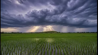
At its heart, the southwest monsoon is a magnificent seasonal spectacle driven by temperature differences. During summer, the vast Indian landmass heats up much faster than the surrounding Indian Ocean. This creates a massive low-pressure area over the land,
which pulls in moisture-laden winds from the cooler, high-pressure ocean. This reversal of winds, from dry continental air to wet oceanic air, is what brings the deluge that sustains over a billion people. But this basic engine is constantly being fine-tuned—or thrown off-kilter—by larger forces at play thousands of kilometres away.
The Pacific Push and Pull: El Niño and La Niña
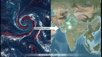
The most famous of these influencers is the El Niño-Southern Oscillation (ENSO), a climate pattern originating in the Pacific Ocean. It has two opposite phases: El Niño and La Niña. During an El Niño, the central and eastern Pacific Ocean becomes unusually warm. This disrupts global atmospheric circulation, often leading to weaker monsoon winds and suppressed rainfall over India. Historically, many of India's drought years have coincided with El Niño events. Conversely, La Niña is characterized by cooler-than-average waters in the same Pacific region. This phase is generally beneficial for India, often strengthening the monsoon and leading to above-average rainfall. Think of them as giant Pacific siblings, one often spoiling the party and the other making sure the rain arrives on time.
The Local Hero: The Indian Ocean Dipole (IOD)
The Pacific isn't the only ocean with a say. Our own backyard, the Indian Ocean, has its own climate phenomenon called the Indian Ocean Dipole (IOD). The IOD refers to the temperature difference between the western Indian Ocean (near the African coast) and the eastern Indian Ocean (near Indonesia). During a 'positive' IOD phase, the western part becomes warmer than the east, which helps push more moisture-filled winds towards India, enhancing the monsoon. A 'negative' phase does the opposite, weakening the rains. The IOD can be a saviour; a strong positive IOD has the power to counteract the drying effects of an El Niño, potentially rescuing a monsoon season that would otherwise be deficient.
The Wild Card: Madden-Julian Oscillation (MJO)
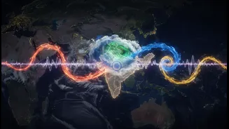
While El Niño and the IOD set the stage for the entire season, the Madden-Julian Oscillation (MJO) is the intra-season wild card. The MJO is a massive pulse of rain and clouds that moves eastward around the equator, typically circling the globe every 30 to 60 days. When the MJO is in its active phase over the Indian Ocean, it can trigger intense bursts of rainfall. When it moves on and enters its suppressed phase, it can lead to dry spells, or a 'break' in the monsoon. An unfavourable MJO phase can stall the monsoon's progress, as was seen in the delayed start and deficit in June 2026. Its timing and strength are crucial for determining the wet and dry spells within the four-month season.
The Complex Collision
Forecasting the monsoon is notoriously difficult precisely because these patterns don't act in isolation. They interact, sometimes amplifying and sometimes cancelling each other out. A strong El Niño might dominate, leading to drought. But a positive IOD could step in to provide relief. An active MJO phase can bring a deluge even in an otherwise weak monsoon year. Recent trends show that overarching climate change is also altering the behaviour of these patterns, making the monsoon more erratic. Experts note that while patterns like El Niño might delay rains, a warmer climate is supercharging the atmosphere with moisture, leading to more intense, extreme rainfall events when they do occur.