





1. Revolutionising Agriculture
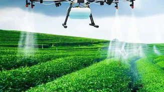
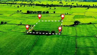
For a nation where agriculture is the backbone of the economy, having a real-time view of farmland is a game-changer. India's Earth observation satellites, such as those in the Resourcesat series, provide invaluable data for the agricultural sector. These
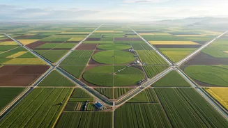
eyes in the sky help estimate crop acreage and forecast yields for staples like rice and wheat long before the harvest. By analysing soil moisture levels and vegetation health, authorities can issue advisories to farmers about irrigation needs and potential pest attacks, promoting precision agriculture. This technology is also crucial for assessing the impact of droughts, allowing for quicker and more targeted government intervention to support affected farmers and ensure national food security.
2. A Lifeline During Disasters
India's geographic diversity also makes it vulnerable to a range of natural disasters. Satellite technology has become an indispensable tool in the country's disaster management arsenal. Before a cyclone makes landfall, meteorological satellites like the INSAT series provide continuous updates on its intensity and track, enabling timely evacuations that save thousands of lives. During widespread floods, radar imaging satellites, which can see through clouds, map the extent of inundation in near real-time, guiding rescue and relief operations to the worst-hit areas. ISRO has also developed systems to monitor landslide-prone regions, especially in the Himalayas, providing alerts that can prevent catastrophic losses of life and property.
3. Safeguarding Water Resources
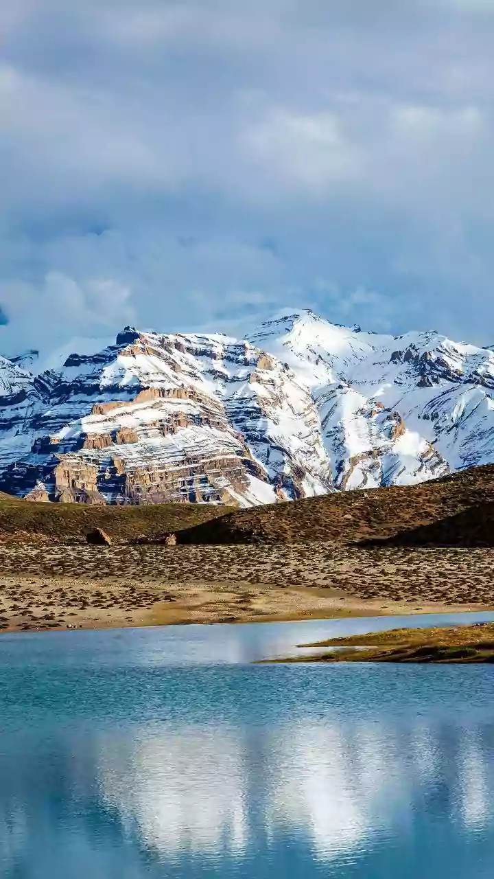
Water is a finite and critical resource, and managing it effectively across a country as large as India is a monumental task. Satellites play a key role in the national water management strategy. They monitor the water levels in thousands of reservoirs, track the depletion of groundwater sources, and assess the seasonal snowmelt in the Himalayas, which is vital for the health of North India's rivers. This comprehensive data, often visualised through platforms like ISRO's Bhuvan geoportal, helps planners make informed decisions about water allocation for agriculture, industry, and drinking, ensuring a more sustainable and equitable distribution.
4. Planning Smarter Cities
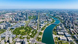
As India continues to urbanise at a rapid pace, managing the growth of its cities is a major challenge. High-resolution imaging from satellites in the Cartosat series provides urban planners with a detailed blueprint for development. These images help map unauthorised constructions, monitor urban sprawl, and identify green spaces that need protection. They are instrumental in planning new infrastructure like roads, metro lines, and housing projects by providing a clear view of the existing landscape. This data allows for more efficient, sustainable, and data-driven urban planning, helping to create cities that are more liveable and better equipped for the future.
5. Protecting Forests and Environment
India's rich biodiversity and vast forest cover are national treasures that require constant monitoring. Earth observation satellites serve as environmental sentinels. They are used to track deforestation and illegal mining activities, even in remote and inaccessible areas. During the dry season, satellites can detect forest fire hotspots, enabling forest departments to respond swiftly before the fires spread. The data is also used for broader environmental management, including monitoring coastlines, mapping wetlands, and assessing the health of coral reefs. This consistent oversight provides the crucial information needed to conserve India's natural heritage for future generations.