





A Continent of Hidden Motion
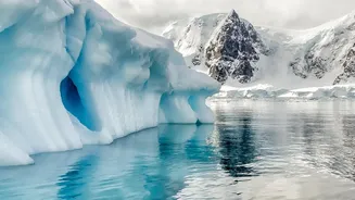
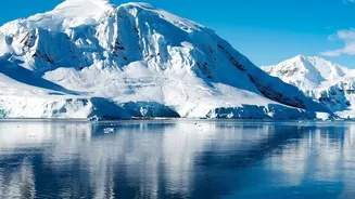
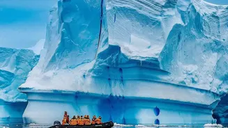
To the naked eye, Antarctica might seem static and unchanging, a vast expanse of ice. But in reality, it is a continent in constant, subtle motion. Glaciers flow like frozen rivers, ice sheets shift, and the very ground beneath them rises and falls. Many
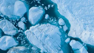
of the most critical changes are invisible, occurring far from view. Ice is melting not just on the surface, but also from underneath, where warmer ocean water eats away at the base of floating ice shelves. These shelves act like a cork in a bottle, holding back the colossal glaciers on land. As they weaken, the flow of ice into the ocean can accelerate, becoming a primary driver of global sea-level rise. Tracking these dynamics—the speed of a glacier, the retreat of the invisible 'grounding line' where ice meets bedrock, and the internal stresses fracturing the ice—has been a monumental challenge for scientists.
NISAR: A New Eye in the Sky
Enter NISAR, the NASA-ISRO Synthetic Aperture Radar mission. This groundbreaking satellite is a joint effort between the U.S. and Indian space agencies, representing the first time they have collaborated on hardware for an Earth-observing mission. Launched in 2025, NISAR is not just another camera in space. It is equipped with an advanced radar system that can see through clouds, darkness, and even layers of snow. What makes NISAR truly unique is its use of two different radar frequencies, L-band and S-band. This dual-frequency capability allows it to map Earth's surface every 12 days with unprecedented detail, detecting changes in elevation as small as a centimetre. By sending microwave signals to the ground and analysing the echoes that bounce back, NISAR creates a dynamic, high-resolution picture of our planet's crust, ecosystems, and ice.
Decoding the Invisible Data
With its powerful radar, NISAR is providing a time-lapse movie of Antarctica's transformation. Recent data has already begun to reveal the hidden world beneath the ice. Images show the intricate patterns of deep cracks, called crevasses, forming as glaciers are stressed and strained by the terrain below. These observations go far beyond what optical satellites can see, penetrating the surface to measure ice properties and movement. Scientists can now track the velocity of ice streams, monitor the stability of critical ice shelves like Thwaites Glacier, and pinpoint exactly where warm ocean currents are causing the most damage. The S-band radar, provided by ISRO, is particularly useful in polar regions, while NASA's L-band can penetrate deeper to observe topography and deformation. This comprehensive data is freely and openly available, allowing the global scientific community to study these changes in near real-time.
Why These Changes Matter for India
The changes NISAR is documenting in a frozen continent thousands of miles away have direct consequences for coastal communities around the world, including India's. The Antarctic Ice Sheet holds enough frozen water to raise global sea levels by nearly 60 meters (200 feet). While a complete melt is not imminent, even a small increase in the rate of ice loss can have a significant impact. Projections for sea-level rise are fraught with uncertainty, largely because of the unpredictable behaviour of ice sheets. By providing a clearer picture of ice dynamics, NISAR helps refine these climate models. More accurate predictions are vital for coastal planning in cities like Mumbai, Chennai, and Kolkata, which are vulnerable to rising seas and storm surges. Understanding how quickly Antarctica is melting is key to preparing for the future and mitigating the risks.
A Planet Under Watch
While its Antarctic observations are critical, NISAR's mission is global. The satellite also monitors deforestation, agricultural activity, volcanic and earthquake-related ground deformation, and the depletion of groundwater. The same technology used to track a glacier's flow can be used to spot the subtle sinking of a city or the pre-cursors to a landslide. This joint NASA-ISRO mission is a powerful example of international collaboration in the face of global environmental challenges. By keeping a constant, precise watch over our planet, NISAR provides essential data not just for scientific understanding, but for disaster response and sustainable resource management worldwide.