


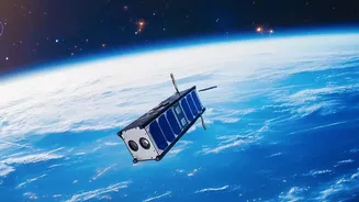
The All-Seeing Eye: What is SAR?
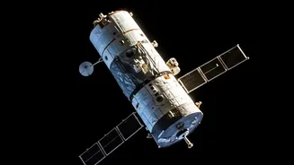
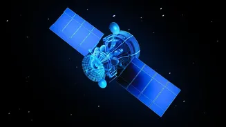
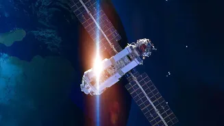
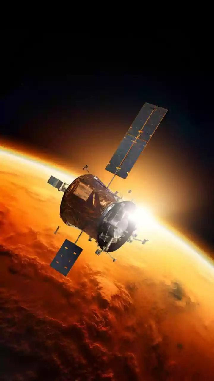
Imagine having a superpower that lets you see through clouds, smoke, and even the dark of night. That's essentially what Synthetic Aperture Radar (SAR) does for satellites. Unlike traditional optical cameras that need light, SAR is an active technology.
It sends its own microwave pulses down to Earth and creates detailed images from the signals that bounce back. This allows it to capture high-resolution imagery of the planet's surface 24/7, regardless of weather conditions. The 'synthetic' part is a clever engineering feat; by collecting data as the satellite moves, it simulates a much larger antenna than it could physically carry, resulting in incredibly sharp and detailed images from space.
From Disaster Relief to National Security
The applications for this all-weather imaging capability are vast and critical. In India, SAR technology, particularly from its own RISAT series of satellites, is a game-changer for disaster management. It allows authorities to map the extent of flooding during a monsoon, monitor landslides in the Himalayas, and track oil spills at sea, even when heavy clouds would render normal satellites useless. Beyond civilian uses, SAR is vital for national security, providing detailed surveillance of borders and tracking movements in sensitive areas. Its ability to detect subtle changes on the ground over time also makes it invaluable for urban planning, monitoring deforestation, and assessing agricultural health.
Inside ISRO's Skill-Building Initiative
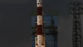
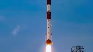
Recognising the growing need for specialists in this domain, the Indian Space Research Organisation (ISRO), through its premier training centre, the Indian Institute of Remote Sensing (IIRS), frequently offers free online courses on SAR. These programs are designed to be accessible, targeting undergraduate and postgraduate students, researchers, and even technical staff in government agencies. The courses typically cover the fundamentals of SAR, data processing techniques, and real-world applications using data from India's own satellites like RISAT-1A. Participants receive study materials and access to video lectures, with a certificate awarded upon completion, providing a formal entry point into this high-tech field.
Bridging a Critical Skill Gap
While India has a strong foundation of engineering talent, the rapidly advancing space sector requires niche expertise. General remote sensing knowledge is no longer enough. Proficiency in processing and interpreting SAR data is a highly sought-after skill that is crucial for unlocking the full potential of India's advanced satellite assets. By offering these targeted courses, ISRO is directly addressing this skill gap. It's a strategic move to cultivate a domestic talent pool capable of developing new applications, innovating on existing technologies, and ensuring that the vast amounts of data being beamed back from space are put to effective use. These programs are a key part of building the human infrastructure needed for a self-reliant space ecosystem.
Fuelling India's Private Space Boom
This initiative isn't just about staffing ISRO's future missions. It's about fuelling the entire Indian space industry. In recent years, a vibrant ecosystem of private space-tech startups has emerged across the country, from companies building their own satellites to those developing downstream applications. These private players are hungry for talent, especially for specialists with hands-on experience in areas like SAR. By democratising access to this knowledge, ISRO is nurturing the very workforce that these startups need to thrive and innovate. In effect, the national space agency is acting as an incubator for the nation's broader space ambitions, ensuring that the next big breakthrough might come not just from a government lab, but from a young startup founded by someone who got their start in one of these very courses.