
A Planet-Sized Data Problem
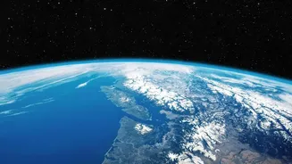
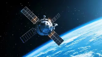
NASA's Earth-observing satellites collect immense quantities of information daily, with its archives already holding nearly 180 petabytes of data—a figure expected to surge past 600 petabytes by the early 2030s. This deluge of imagery and measurements,
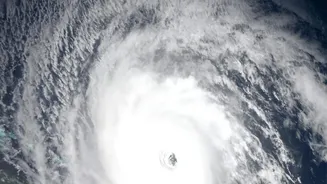
while invaluable, presents a monumental challenge: there is simply too much data for humans to analyze effectively. Sifting through petabytes of satellite imagery to find specific events like a developing flood, a new wildfire burn scar, or subtle changes in land use is an incredibly time-consuming process. This bottleneck means that critical insights can remain buried in the data, delaying our ability to respond to natural disasters, track climate trends, and manage resources.
An AI Co-Pilot for Earth
To solve this, NASA has partnered with technology leaders like IBM to develop a new class of artificial intelligence known as a "foundation model." Think of it as a highly versatile, trainable AI that specializes in understanding satellite imagery. One of the flagship projects is an open-source geospatial foundation model named Prithvi. Trained on years of harmonized data from the Landsat and Sentinel satellite missions, Prithvi learns to identify patterns in the Earth's surface. This allows it to be quickly adapted—or "fine-tuned"—for a wide variety of specific tasks without having to build a new AI model from scratch each time. This approach significantly accelerates the process of turning raw data into useful intelligence.
From Pixels to Practical Insights
The real power of this AI lies in its applications. The Prithvi model can be tasked with mapping floodwaters after a hurricane, identifying the burn scars left by wildfires, monitoring deforestation, and even predicting crop yields for agriculture. These tasks, which once required extensive manual analysis, can now be performed with greater speed and efficiency. More advanced AI systems are also being tested directly on satellites, allowing them to make decisions in orbit. This technology, known as Dynamic Targeting, enables a satellite to spot cloud cover and decide not to waste storage on a useless image, or conversely, to autonomously identify a transient event like a volcanic eruption and immediately focus its instruments on it, all without human intervention.
Democratizing Access to Science
A key part of NASA's strategy is making these powerful tools open and accessible. By releasing models like Prithvi as open-source projects on platforms like Hugging Face, NASA and its partners are enabling a global community of scientists, researchers, and even commercial companies to use and build upon this technology. This commitment to open science aims to accelerate discovery and innovation. Furthermore, projects like the NASA Earth Copilot, developed with Microsoft, are exploring conversational AI to help users find and understand complex datasets through simple, natural language questions, breaking down technical barriers for everyone from students to policymakers.
The Future of Planetary Monitoring
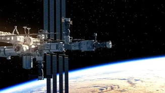
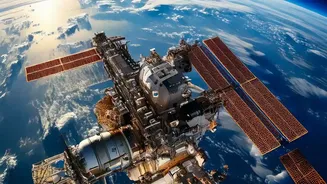
The integration of AI into Earth observation is just beginning. Recently, a version of the Prithvi model was successfully demonstrated in orbit aboard the International Space Station and another commercial satellite, proving that this complex analysis can happen in space, reducing the time it takes to get critical information to the ground. Collaborations with commercial partners are helping NASA validate and deploy AI software on a growing number of satellites, creating a more responsive and intelligent network for observing Earth. The ultimate goal is to create a system where data collection and scientific understanding are linked almost seamlessly, giving us the tools to better steward our home planet.