


An Eye in the Sky for Every Farm
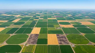
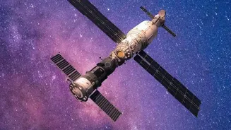
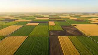
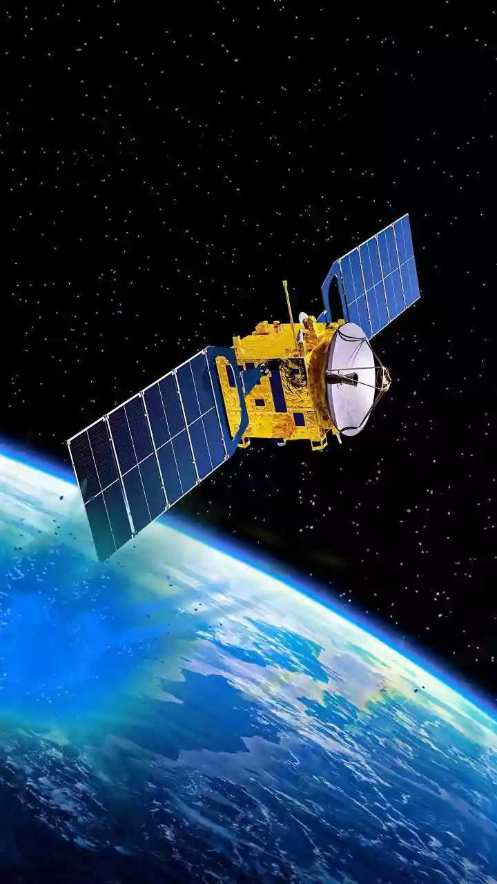
At its core, space-based crop monitoring is a key part of what is known as precision agriculture. Instead of treating a massive field as a single, uniform entity, this approach uses technology to manage it with surgical precision. Satellites equipped
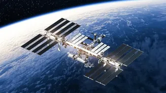
with advanced sensors orbit the Earth, capturing detailed images of farmland. These sensors can see beyond the visible spectrum of light, detecting subtle variations in crop health, soil conditions, and moisture levels that are invisible to the naked eye. This constant stream of data gives farmers a bird's-eye view of their operations, enabling them to identify potential problems like nutrient deficiencies, water stress, or pest infestations long before they become catastrophic.
From Pixels to Predictions
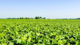
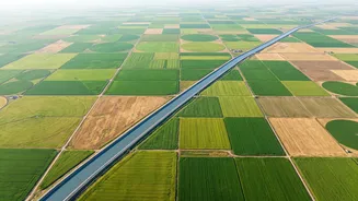
Raw satellite images are just the beginning. The real magic happens when this data is processed by powerful artificial intelligence (AI) and machine learning algorithms. These systems can analyze terabytes of imagery to identify patterns and generate actionable insights. For example, by calculating the Normalized Difference Vegetation Index (NDVI), which measures how plants reflect light, farmers can get a clear picture of crop vigour and density across their fields. This allows them to move away from traditional, wasteful “blanket applications” of water and fertiliser. Instead, they can apply these essential resources precisely where and when they are needed, saving money and reducing environmental impact.
The Forces Driving Adoption
While the technology has existed for decades, several key factors have recently converged to make it more accessible and useful. Firstly, the cost of satellite imagery has fallen dramatically. A surge in commercial satellite launches means more data is available more frequently and affordably than ever before. Secondly, the rise of sophisticated AI has made it possible to analyse this flood of data quickly and effectively, turning complex images into simple, actionable advice for farmers. Finally, as climate change brings more extreme and unpredictable weather, the ability to monitor crops in real-time and forecast yields has become not just a luxury, but a necessity for managing risk and ensuring food security.
The View from India
In India, where agriculture is the backbone of the economy, these technologies hold immense promise. The Indian Space Research Organisation (ISRO) has been a key player, using its satellite network for agricultural applications for years, from crop forecasting to drought monitoring. Now, a growing ecosystem of agritech startups is working to put this power directly into the hands of farmers. These companies create user-friendly platforms that deliver insights via mobile devices, making the complex technology accessible even to smallholder farmers. This can help verify land and crop data for securing loans and insurance, which is often a major hurdle for farmers. By providing real-time, field-specific advice, satellite monitoring helps improve resilience against erratic monsoons and other climate-related challenges, ultimately boosting both productivity and farmer incomes.
Tangible Gains in the Field
The benefits of this technology are clear and measurable. Studies have shown that precision agriculture techniques, informed by satellite data, can significantly increase crop yields while reducing the use of fertilisers and water. Early pest and disease detection can save a harvest from ruin. More accurate yield forecasting allows farmers to better plan for harvesting, storage, and marketing, leading to improved profitability and stability throughout the supply chain. Furthermore, by enabling more sustainable practices, such as targeted fertiliser use, it helps minimise the environmental footprint of farming, reducing chemical runoff into waterways and contributing to better soil health over the long term.