





India's Eyes in the Sky
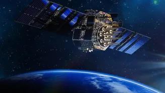
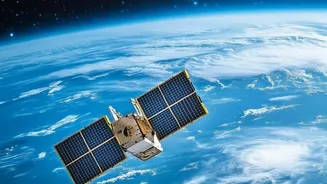
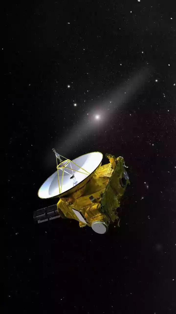
The story begins with the Indian Space Research Organisation’s (ISRO) OceanSat series of satellites. These are Earth observation satellites specifically designed to study the oceans. The latest in this series, EOS-06 (also known as OceanSat-3), orbits
our planet at an altitude of about 740 kilometres, equipped with advanced sensors. Its primary mission is to provide data on ocean biology and sea state, continuing a legacy that started with Oceansat-1 in 1999. These satellites aren't just for scientific curiosity; they are workhorses for India's blue economy, providing crucial information that has a direct impact on the ground, or in this case, at sea.
The Satellite That Finds Restaurants, Not Fish
Here's the most interesting part: the satellite never sees a single fish. Instead, it looks for the food fish eat. The key instrument for this task is the Ocean Colour Monitor (OCM). This highly sensitive camera doesn't just see the ocean as blue; it detects subtle variations in its colour. These colour changes are caused by the presence of microscopic marine plants called phytoplankton. Phytoplankton contain chlorophyll, the same pigment that makes plants on land green. By measuring the specific shades of green and blue in the water, the OCM can create a detailed map of chlorophyll concentration across the ocean.
Following the Food Chain
High concentrations of chlorophyll indicate a phytoplankton bloom. These blooms are the base of the marine food web. They are consumed by tiny animals called zooplankton, which are then eaten by small fish like sardines and mackerel. Larger predatory fish, the kind most sought after by fishermen, gather in these areas to feed on the smaller fish. So, by tracking chlorophyll, ISRO isn't tracking fish directly; it's tracking their dinner table. In essence, the satellite finds the 'restaurants' where fish are most likely to congregate. This information is combined with other data, like sea surface temperature, to create a comprehensive picture of the marine environment.
From Raw Data to a Fisherman's Map
The raw data from OceanSat is just the first step. It is transmitted to the Indian National Centre for Ocean Information Services (INCOIS) in Hyderabad. Scientists there process the satellite's colour and temperature data to identify Potential Fishing Zones (PFZs). These are not guaranteed locations, but advisories that show areas with the highest probability of finding fish aggregations. INCOIS then creates detailed advisories, complete with latitude, longitude, depth, and the distance and direction from familiar coastal landmarks. This transforms complex oceanographic data into a simple, actionable 'treasure map' for fishermen.
Transforming Lives and Livelihoods
The impact of these PFZ advisories is enormous. Previously, fishermen would sail for hours, burning expensive fuel with no guarantee of a catch, relying on traditional knowledge and luck. Now, these advisories, disseminated daily to hundreds of fishing centres in local languages via mobile apps like 'Samudra', websites, and community radio, have revolutionised the industry. Fishermen can head directly to productive areas, saving significant amounts of fuel and time. This not only increases their income but also makes fishing more sustainable by reducing fruitless searching and associated carbon emissions. Some reports indicate that a single fishing village could save tens of thousands of litres of diesel in a month. Beyond just finding fish, ISRO's technology also provides safety, with distress alert terminals that can send an emergency message via satellite, ensuring a vital lifeline when things go wrong at sea.