



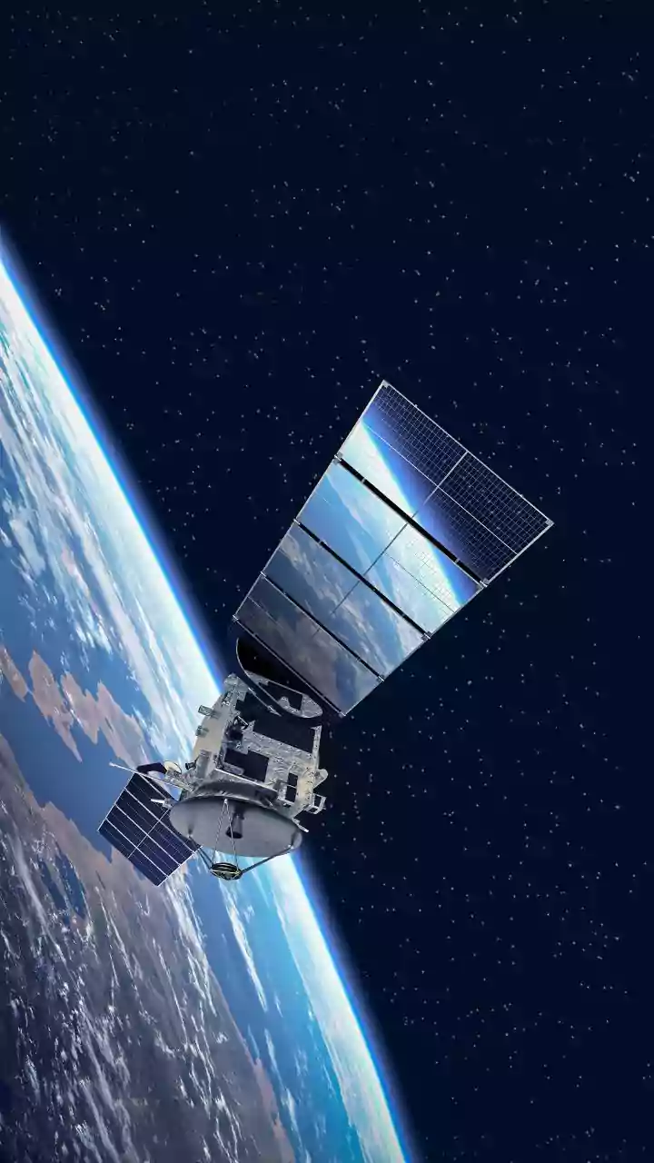



The Satellite: An Unblinking Eye
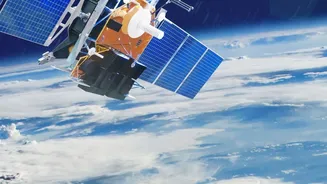
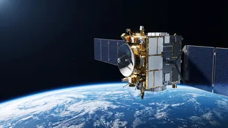
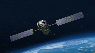
GISAT-1A, also known as EOS-05, is a state-of-the-art Geo-Imaging Satellite. Unlike conventional Earth observation satellites that circle the globe and pass over a specific area only a few times a day, GISAT-1A is designed for a far more specialised role.
Its primary mission is to provide near real-time imagery of the Indian subcontinent and surrounding oceans. The satellite is equipped with advanced imaging instruments, including high-resolution cameras that can capture detailed pictures across various spectral bands. This allows it to see more than just visible light, picking up on details useful for agriculture, forestry, and mineralogy. It can image the entire Indian landmass every 30 minutes, and for high-priority areas of interest, it can provide updates as frequently as every five minutes. This mission is also a redemption of sorts; it's a second attempt after its predecessor, GISAT-1 (or EOS-03), was lost during a launch failure in August 2021.
The Rocket: The GSLV Workhorse
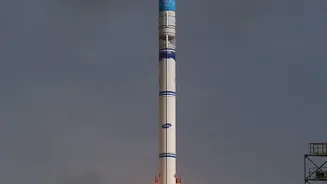
To place a heavy satellite like GISAT-1A into a very high orbit requires a powerful rocket. ISRO's choice is the Geosynchronous Satellite Launch Vehicle (GSLV), specifically the GSLV-F17. Standing over 51 metres tall, the GSLV is a three-stage rocket designed for precisely these kinds of demanding missions. The first stage uses a combination of solid fuel and four liquid-fueled strap-on boosters to provide the initial massive thrust. The second stage is powered by a liquid-fueled engine. The crucial third stage is the indigenous Cryogenic Upper Stage (CUS), which uses super-cooled liquid oxygen and liquid hydrogen as propellants. Mastering cryogenic technology was a major milestone for ISRO, as it provides the high energy needed to push satellites into geosynchronous orbits. This launch is particularly critical as it was a technical anomaly in the cryogenic stage that led to the failure of the previous GISAT-1 mission in 2021. A successful flight will restore full confidence in the GSLV for future strategic launches.
The Orbit: A Fixed Perch in Space
The destination for GISAT-1A is a geostationary orbit, approximately 36,000 kilometres above the Earth's equator. This orbit is special because a satellite placed here travels at the same speed as the Earth's rotation. From the perspective of someone on the ground, the satellite appears to be stationary, hovering over a fixed point. This is why it's often called a 'parking spot' in space. This fixed position is the key to GISAT-1A's capability. While satellites in Low Earth Orbit provide very high-resolution images, they are constantly moving. A geostationary satellite sacrifices some of that fine detail for the immense advantage of persistence. It can continuously watch the same geographical area, making it invaluable for tracking the development of cyclones, the movement of floods, or other rapidly evolving events.
The Benefits: A Game-Changer for India
The capabilities of GISAT-1A translate directly into major benefits for India's governance, security, and economy. For disaster management, the ability to monitor cyclones, cloudbursts, and forest fires in near real-time is a significant upgrade, enabling faster and more effective early warnings and response. In agriculture, the satellite's spectral data can help monitor crop health, assess water stress, and improve resource management on a large scale. It will also provide crucial data for monitoring cloud properties, snow cover, and glaciers, which is vital for long-term climate and water resource planning. Furthermore, while it is a civilian satellite, its capacity for continuous surveillance over borders and oceans provides a significant strategic advantage for national security and defence agencies, allowing for round-the-clock monitoring of areas of interest.