




India's Eyes in the Sky
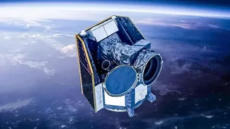
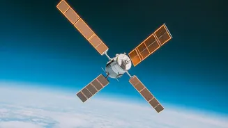
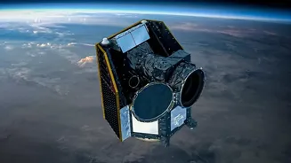
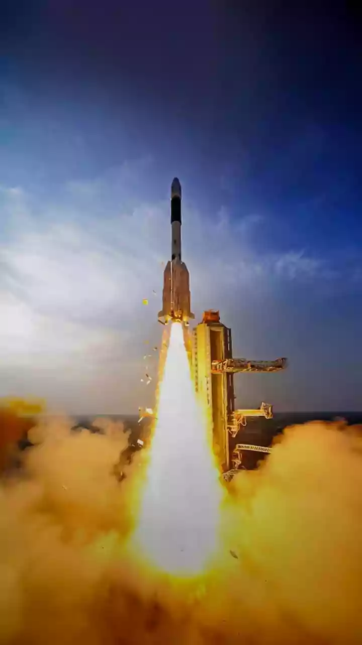
India, through the Indian Space Research Organisation (ISRO), operates a sophisticated network of Earth observation (EO) satellites. This includes series like Resourcesat, RISAT (Radar Imaging Satellite), and the INSAT (Indian National Satellite System).
Unlike communication satellites that relay signals, EO satellites are fitted with powerful sensors and cameras that continuously monitor the Earth's land, oceans, and atmosphere. These satellites capture high-resolution images and data across different wavelengths, providing insights that are invisible to the naked eye. This constant stream of information forms the backbone of a data-driven approach to managing the country's vast natural resources and preparing for environmental challenges.
A Digital Revolution for the Fields
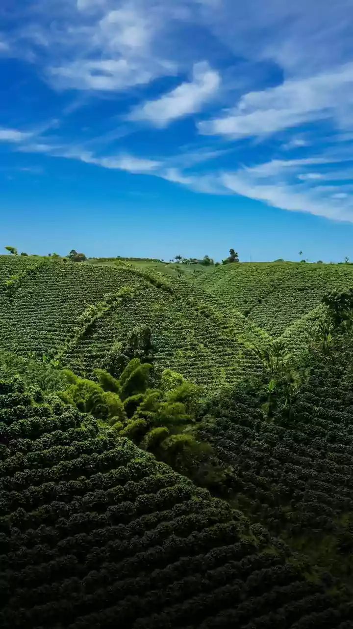
For a country where agriculture employs a significant portion of the population, these satellites are game-changers. Government programmes like FASAL (Forecasting Agricultural output using Space, Agro-meteorology and Land-based observations) use satellite data to provide early forecasts for major crop production. This helps in strategic planning for food security. Satellites can assess crop health by detecting subtle changes in light reflected from plants, indicating stress from lack of water or pests long before it's visible on the ground. This allows for precision agriculture, where farmers can optimize the use of water, fertilizers, and pesticides, leading to higher yields, reduced costs, and more sustainable practices. Furthermore, this technology supports crop insurance schemes like the Pradhan Mantri Fasal Bima Yojana (PMFBY) by enabling accurate and timely assessment of crop damage for claim settlements.
Taming an Unpredictable Climate
India's economy and food security are intrinsically linked to the monsoon. Satellites like the INSAT series are crucial for monitoring cloud patterns, rainfall distribution, sea surface temperatures, and wind speeds. This data is fed into weather models to produce more accurate forecasts, from daily weather updates to long-term monsoon predictions. The India Meteorological Department (IMD) heavily relies on this satellite data to issue timely warnings. Beyond the monsoon, satellites also help in monitoring drought conditions through programmes like the National Agricultural Drought Assessment and Monitoring System (NADAMS), which assesses vegetation health and soil moisture levels to provide early warnings to farmers and policymakers.
Early Warnings That Save Lives
Perhaps the most dramatic impact of India's EO satellites is in disaster management. For a nation with a long coastline vulnerable to cyclones, the ability to track these powerful storms is a matter of life and death. Satellites provide real-time tracking of a cyclone's formation, intensity, and path, enabling authorities to issue precise warnings and carry out timely evacuations. This capability has been credited with drastically reducing the loss of life from cyclones in recent years. Similarly, satellite imagery is indispensable for mapping flood-affected areas, even during heavy cloud cover, thanks to radar imaging satellites like RISAT. This helps disaster response teams plan rescue and relief operations more effectively.
Driving Policy and Economic Growth
The data gathered from space does more than just help farmers and forecasters; it empowers the government to make informed policy decisions. Integrated platforms like the Krishi Decision Support System (Krishi-DSS) combine satellite data with ground information to aid in everything from crop diversification planning to efficient subsidy delivery. By providing a clear, macro-level view of the country's agricultural landscape and water resources, this technology helps in better resource management and implementation of welfare schemes. This space-based infrastructure is a core component of India's push towards self-reliance, enhancing economic stability and building resilience against the growing challenges of climate change.