


A Planet Under Watch
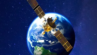
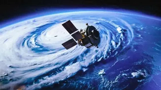
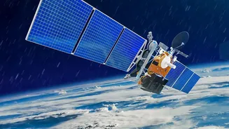
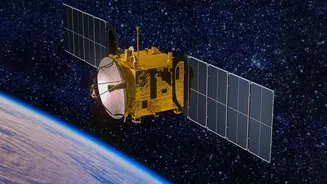
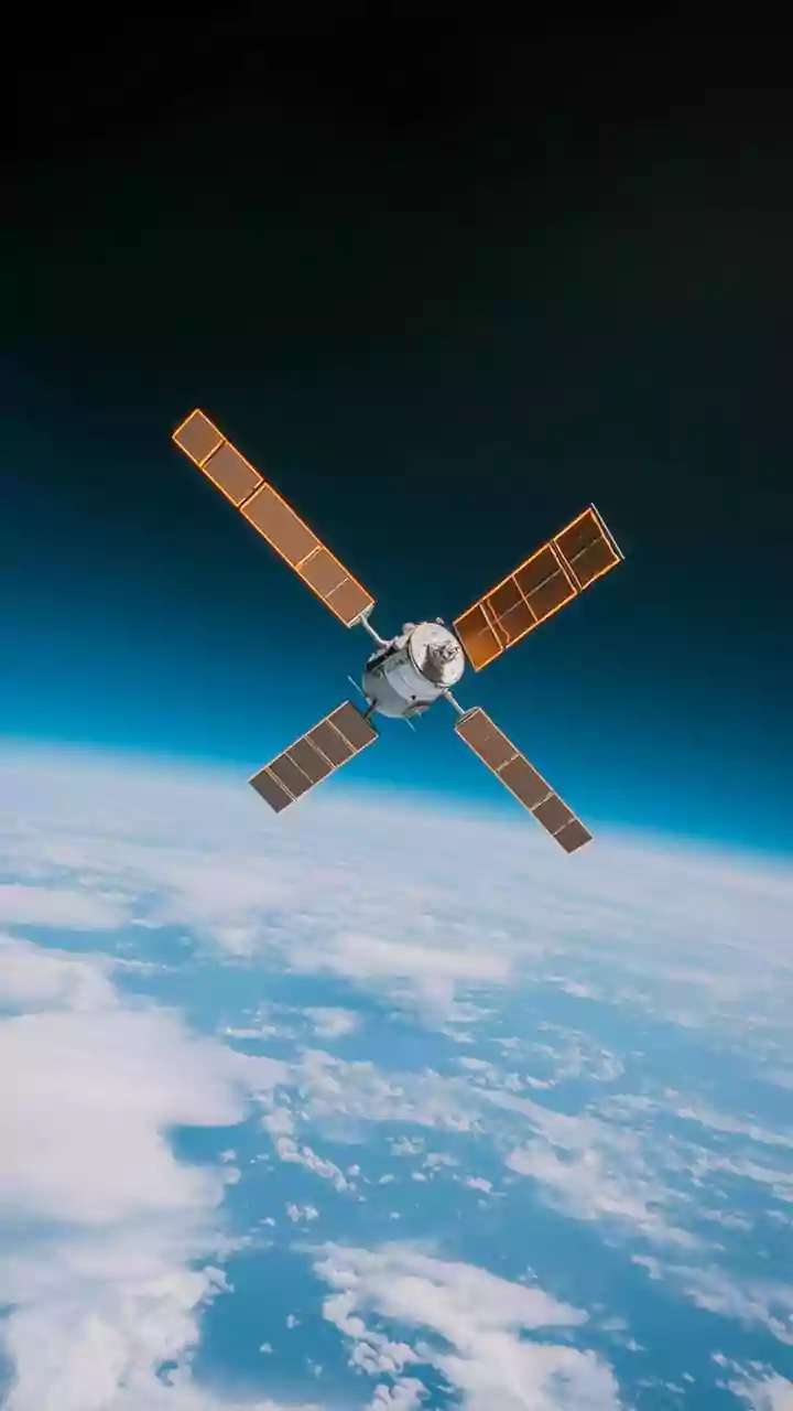
Satellite monitoring, also known as Earth Observation (EO), uses sensors aboard satellites to collect information about the planet's physical, chemical, and biological systems. These instruments capture light from beyond the visible spectrum, such as infrared
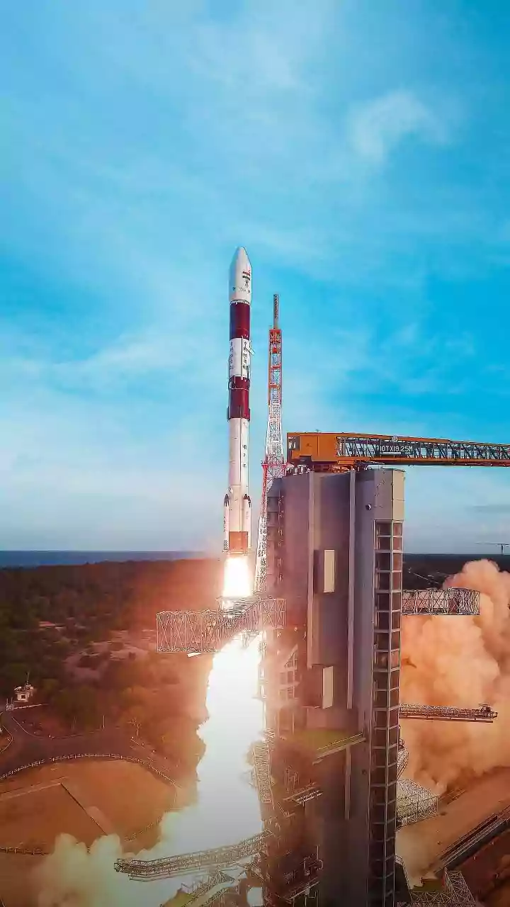
and radar, allowing scientists to measure features that are invisible to the naked eye. By comparing images of the same location taken at different times, researchers can detect and quantify changes on the ground with incredible precision. This can range from the slow creep of a glacier to the rapid expansion of a city. Space agencies like ISRO, NASA, and ESA operate constellations of satellites, many of which provide data freely to the global scientific community, fostering a deeper understanding of our dynamic world.
Tracking the Health of Our Forests
Nowhere is the power of satellite monitoring more evident than in the fight against deforestation. In the Amazon, home to the world's largest tropical rainforest, satellite programs have been instrumental for decades. Initiatives like Brazil's PRODES system use satellite imagery to produce annual deforestation rates, while near-real-time systems like DETER issue daily alerts about forest clearing. These alerts enable authorities to act quickly against illegal logging. Modern satellites can distinguish between deforestation (total clearing) and forest degradation (thinning), providing a more nuanced view of forest health. The ability of radar satellites to see through clouds ensures that this vital monitoring can continue uninterrupted, even during rainy seasons.
The Pulse of India's Growing Cities
India is projected to add over 400 million urban residents by 2050, putting immense pressure on infrastructure and natural resources. Traditional manual surveys cannot keep pace with this rapid growth. Satellite imagery offers a solution, enabling planners to track urban sprawl in near real-time. By analysing multi-temporal data—images of the same city taken over months or years—urban local bodies can see exactly where new construction, roads, and unplanned settlements are emerging. Cities like Bengaluru, Hyderabad, and Pune have seen their urban footprints expand by many square kilometres in just over a decade. This data is critical for managing land use, planning essential services like water and drainage, and protecting vulnerable ecological zones from encroachment.
Monitoring the Himalayan 'Third Pole'
The Himalayan glaciers, which contain the largest reserve of freshwater outside the polar regions, are a critical water source for millions in India and neighbouring countries. Scientists are using satellite data, including declassified spy satellite images from the Cold War, to track how these glaciers are changing. Research shows that the melting of Himalayan glaciers has accelerated significantly, with ice loss from 2000 to 2016 occurring at twice the rate of the previous 25 years. ISRO's monitoring reveals that this retreat is also causing glacial lakes to expand. Between 1984 and 2023, hundreds of these lakes grew significantly, increasing the risk of Glacial Lake Outburst Floods (GLOFs), which can have devastating consequences for downstream communities.
The Future is Smarter and Faster
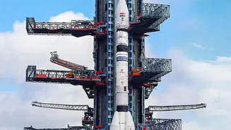
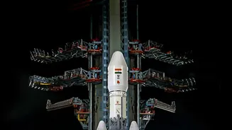
The field of Earth Observation is evolving rapidly. The next generation of satellites will provide even higher resolution data more frequently. A major leap forward is the integration of Artificial Intelligence (AI) and machine learning directly onto satellites. These onboard systems can analyse images in orbit, identifying and sending back only the most relevant, cloud-free data, such as images of wildfires or flood-accessible roads. The upcoming NISAR mission, a joint project between ISRO and NASA, will use advanced radar to penetrate clouds and even vegetation, providing unprecedented detail on changes in forests, coastlines, and disaster-prone regions. These technological advancements promise to turn vast amounts of raw data into actionable insights faster than ever before.