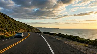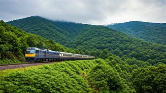


The Allure and Risk of Coastal Roads
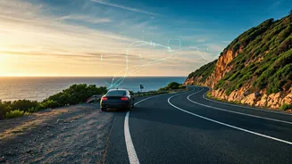
There’s a certain magic to driving along the southern coastline, whether it’s the famous East Coast Road (ECR) from Chennai to Puducherry or the winding highways through Kerala’s monsoonal splendour. These routes offer breathtaking views, charming fishing
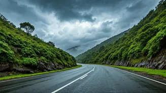
villages, and an escape from the mundane. However, they also come with unique challenges. Coastal weather is notoriously fickle. A sunny morning can quickly give way to a torrential downpour, leading to waterlogged roads, reduced visibility, and in hilly sections, the risk of landslides. For the modern road-trip enthusiast—the ‘chaser’ seeking the drama of a monsoon drive or the perfect coastal sunset—planning is no longer just about destinations; it’s about timing and safety.
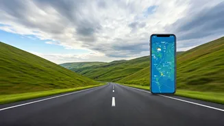
Why Your Standard Map Isn't Enough
A traditional map or a basic GPS route gives you a static picture. It tells you the distance between two points and the standard roads to take. But it won’t warn you that a low-lying stretch of highway is currently flooded after a high tide, or that an accident ahead has caused a two-hour gridlock. During the monsoon, this lack of dynamic information is a significant liability. This is where real-time data becomes a driver’s most crucial co-pilot. By integrating live information, modern mapping tools move beyond simple navigation to offer a predictive and responsive guide that adapts to conditions as they unfold.
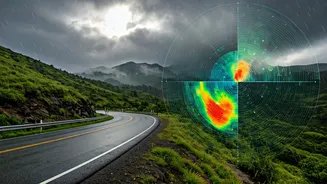
Your Real-Time Weather Command Centre
The first layer of smart planning comes from real-time weather applications. These are essential for any coastal drive, especially between June and November. Apps like the official IMD (India Meteorological Department) ‘Mausam’ app provide district-level warnings, Doppler radar imagery showing rain intensity and movement, and lightning alerts. Private services like Skymet Weather offer similar features with granular forecasts. Before you even start the car, you can check the radar to see if a heavy rain band is moving up the coast. While driving, you can use these apps to anticipate weather changes an hour or two in advance, allowing you to decide whether to push through a light shower or find a safe place to wait out a more intense storm.
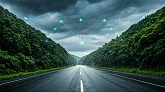
Navigating Live Traffic and Road Closures
Once you have the weather picture, the next step is integrating it with on-ground road conditions. This is where Google Maps and Waze excel. Their power lies in crowdsourced, real-time data. When multiple users slow down or stop in one area, the algorithm flags it as a traffic jam, colour-coding the route from green to dark red. More importantly, users can report hazards like accidents, debris on the road, or flooding. For coastal drives, this is invaluable. A quick glance at the map can show you which roads are clear and which are congested. During severe weather events, these apps can even display official road closures, automatically rerouting you to safer alternatives and preventing you from driving into a dangerous situation.
Putting It All Together: The Smart Drive
The art of the modern coastal drive lies in synthesizing these two data streams. Start by checking your weather app for the day’s forecast along your intended route. Look for any cyclone warnings, heavy rainfall alerts, or high wind advisories. Next, plug your route into Google Maps. Pay attention not just to the ETA but also to the colour of the route and any reported incidents. The ideal strategy is to plan your drive in windows of good weather. Use the rain radar to see if you have a clear two-hour patch to cover a tricky section. Cross-reference with traffic data to ensure the path is clear. This dynamic planning allows you to be flexible, perhaps enjoying a longer break at a café while a storm passes, and then resuming your journey on clear, safe roads.