





The Eye in the Sky
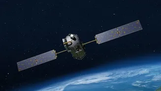
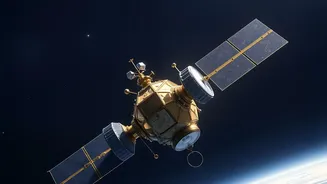
Monitoring Earth's vast and complex river systems from the ground is a monumental task. River gauges provide crucial data, but only for specific points, and can fail during major floods. Satellites offer a solution, providing a comprehensive view of entire
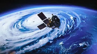
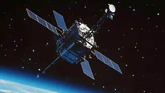
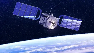
river basins in a single pass. This 'eye in the sky' approach is not only efficient but also cost-effective, allowing scientists to gather data from the most remote and inaccessible corners of the globe without deploying instruments on the ground. These orbital platforms can see how much rain is falling, measure water levels, and track how fast water is moving downstream, giving us an unparalleled understanding of our planet's freshwater resources.
Seeing Through Clouds and Darkness
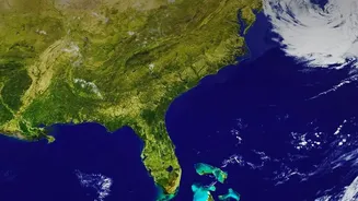
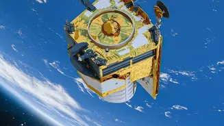
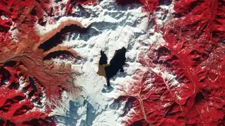
Scientists use a suite of advanced technologies aboard satellites to study rivers. Optical sensors, like those on the Landsat or Sentinel-2 missions, capture images much like a regular camera, allowing researchers to see the outline of rivers and flooded areas. However, their effectiveness is limited by cloud cover and darkness. This is where Synthetic Aperture Radar (SAR) becomes invaluable. SAR instruments, used by missions like Sentinel-1 and private companies like ICEYE, send down their own radar signals and measure the reflection. This allows them to 'see' through clouds and at night, which is critical for monitoring floods that often occur during severe storms. This all-weather, day-and-night capability ensures a constant stream of data when it is needed most.
Measuring a River's Pulse
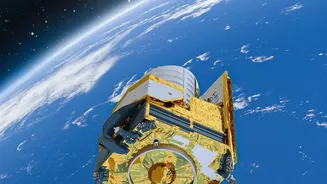
One of the most groundbreaking tools is radar interferometry, used by the NASA-led SWOT (Surface Water and Ocean Topography) mission. SWOT can measure the height of water surfaces with centimetre-level accuracy across wide swaths of the Earth. This allows scientists to calculate not just the width and extent of a river, but also its slope and depth, which are key to determining its volume and flow, or discharge. By comparing data from successive satellite passes, researchers can track the 'pulse' of a river—how it swells during monsoons and shrinks in dry seasons. Historical satellite archives, some stretching back decades, also provide a timeline of how rivers have migrated and changed their shape over the long term.
Mapping the Floodplain
When a river overflows its banks, knowing where that water will go is essential for protecting lives and property. Satellites are profoundly changing how we map and predict this. By comparing images taken before and after a flood, emergency responders can quickly create maps of the inundated area, identifying the hardest-hit communities and infrastructure. Furthermore, this technology helps create Digital Terrain Models (DTMs), which are high-resolution maps of the ground's elevation. By combining DTMs with satellite observations of water movement, planners can simulate how floodwaters will spread across a landscape, identifying high-risk zones before a disaster even occurs.
From Data to Decisions
This wealth of satellite data is not just for academic study; it has profound real-world applications. In countries like India and Bangladesh, which face significant water management challenges, satellite information is becoming vital. It helps improve flood forecasting, moving from predictions of a few days to potentially longer, more accurate warnings. This data informs infrastructure planning, helping engineers decide where to build bridges, dams, and levees. It also aids in managing water resources for agriculture and drinking water, especially in river basins that cross international borders. As climate change makes weather patterns more extreme and less predictable, the continuous, global watch provided by satellites is more crucial than ever for building resilience and safeguarding communities.