
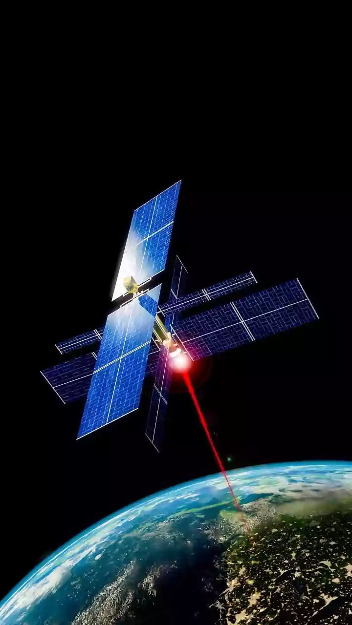




A New Sentinel in Geostationary Orbit
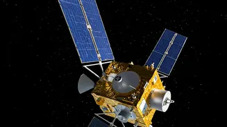
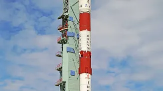
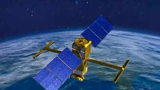
The Indian Space Research Organisation (ISRO) is scheduled to launch its latest Earth Observation Satellite, EOS-05, on September 4, 2026. Also known as GISAT-1A, this satellite is a significant step forward for India's space program and its national
disaster management framework. Unlike many other Earth observation satellites that circle the globe in lower orbits, EOS-05 is designed to operate from a geostationary orbit, approximately 36,000 kilometres above the equator. This high perch will allow it to remain in a fixed position relative to the Earth's surface, providing near-continuous imagery of the Indian subcontinent. This mission is particularly crucial as it follows a previous launch attempt of its predecessor in 2021 that failed to reach orbit. A successful launch will give India a powerful, persistent eye capable of watching over the nation almost constantly.
The Power of Near-Real-Time Imaging
The standout feature of EOS-05 is its ability to provide rapid, repeated imaging of a large area. The satellite is designed to capture an image of the entire Indian landmass every 30 minutes. For specific areas of interest, such as a developing cyclone or a spreading flood, it can revisit and image the location as frequently as every five minutes. This rapid-refresh capability is a game-changer for tracking dynamic events. Traditional satellites might only pass over a disaster-struck region once or twice a day, providing delayed snapshots. With EOS-05, disaster management agencies can get a steady stream of data, allowing them to monitor a situation as it unfolds in near-real-time and make quicker, more informed decisions about evacuations, resource deployment, and rescue efforts.
Beyond Standard Cameras: Seeing in New Light
While rapid imaging is a major advantage, what the satellite 'sees' is just as important. EOS-05 will be equipped with multi-spectral and hyper-spectral imaging instruments. This means it captures light in many different wavelengths, far beyond what the human eye can see. This technology is different from Synthetic Aperture Radar (SAR) used by satellites like EOS-04, which actively send out signals to see through clouds. Instead, EOS-05's imagers will provide detailed information about the Earth's surface under cloud-free conditions. For disaster management, this is useful for assessing the aftermath of an event. For example, it can help distinguish between flooded agricultural land and healthy crops, map the extent of damage to forests after a fire, or identify areas where landslides have occurred by analysing changes in vegetation and soil composition.
Strengthening a Network of Eyes
EOS-05 will not work in isolation. It will complement ISRO's existing fleet of Earth observation satellites, each with its own strengths. For instance, India has a constellation of Radar Imaging Satellites (RISAT), including the powerful EOS-04, which use Synthetic Aperture Radar (SAR). SAR technology is exceptional because it can penetrate clouds, smoke, and darkness, providing imagery day or night, regardless of weather—a critical ability during monsoons and cyclones when cloud cover is dense. While SAR satellites are perfect for mapping the extent of flooding under heavy rain, EOS-05 will provide high-frequency observation and detailed spectral data once the skies clear. Together, this network of satellites gives India a multi-layered and more resilient capability to monitor disasters from their formation through to the recovery phase. This integrated system ensures that even if one type of satellite is limited by conditions, another can fill the gap.