






Decoding the Pacific Puzzle: ENSO
The most significant climate cycle influencing India's rainfall is the El Niño-Southern Oscillation, or ENSO. Think of it as a giant, irregular see-saw in the tropical Pacific Ocean that alternates between three states: El Niño (the warm phase), La Niña
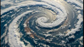
(the cold phase), and a neutral phase. This cycle involves a complex interplay between sea surface temperatures and the overlying atmosphere. Normally, strong trade winds blow from east to west across the Pacific, pushing warm surface water towards Asia and Australia. This process, known as the Walker Circulation, is the baseline against which El Niño and La Niña are measured. These events occur irregularly, typically every two to seven years, and can last from nine months to two years.
El Niño: The Warm Disruptor
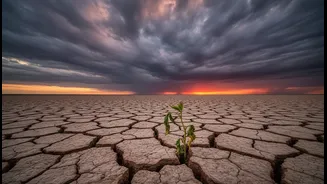
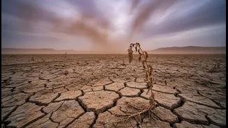
El Niño occurs when those easterly trade winds weaken or even reverse. This allows the massive pool of warm water normally in the western Pacific to slosh back eastward, towards the coast of South America. This seemingly simple change has massive global consequences. For India, it often spells trouble. The shift in ocean warmth disrupts the atmospheric circulation pattern. This can lead to increased air pressure over the western Pacific and Indian Ocean, which suppresses the formation of clouds and weakens the low-pressure system that drives the southwest monsoon winds toward India. Historically, El Niño years are strongly correlated with below-average monsoon rainfall and drought conditions in many parts of India.
La Niña: The Cooler, Wetter Counterpart
La Niña is essentially the opposite of El Niño. During a La Niña event, the easterly trade winds become even stronger than usual, pushing more warm water toward Asia and allowing cold, deep ocean water to rise to the surface in the eastern Pacific. This creates a strong temperature difference across the ocean. For India, La Niña is generally good news. The strengthened Walker Circulation enhances the typical atmospheric patterns that support a strong monsoon. This often results in normal or above-normal rainfall across most of the country during the monsoon season. While beneficial for agriculture, very strong La Niña events can sometimes lead to excessive rainfall and flooding.
The Real-World Impact on India
The stakes of this Pacific cycle are incredibly high for India. With a significant portion of its agriculture being rain-fed, a weak monsoon triggered by El Niño can lead to reduced crop yields for staples like rice, cotton, and oilseeds, threatening food security. This can drive up food inflation, strain rural incomes, and slow down the country's overall economic growth. Conversely, a healthy monsoon, often aided by La Niña, replenishes water reservoirs crucial for drinking water and hydropower, supports agricultural output, and boosts the rural economy. However, the relationship isn't always one-to-one; other factors like the Indian Ocean Dipole (IOD) can sometimes counteract or amplify ENSO's effects.
A More Complex Climate Story
Beyond the well-known ENSO cycle, other, longer-term patterns like the Pacific Decadal Oscillation (PDO) also play a role. The PDO is a similar warm and cool phase pattern in the North Pacific, but it operates on a much longer timescale of 20 to 30 years. Research suggests that the PDO can modulate the effects of El Niño and La Niña. For instance, an El Niño occurring during a warm phase of the PDO can make the monsoon even more vulnerable to drought. Similarly, a La Niña during a cool PDO phase might enhance the chances of a wet monsoon. This shows that India's climate is influenced by multiple overlapping cycles, making long-term prediction a complex science.
What Are the Forecasts Saying?
Climate scientists around the world, including at the India Meteorological Department (IMD), continuously monitor ocean temperatures to forecast the state of ENSO. As of early July 2026, forecasts from agencies like the US National Oceanic and Atmospheric Administration (NOAA) and the World Meteorological Organization (WMO) indicate that a strong El Niño event is developing and expected to intensify through late 2026. This has already been linked to a rainfall deficit in June 2026 across parts of India. Such forecasts are critical, as they provide an early warning for governments and farmers to prepare for potential impacts on water resources and agriculture.