







The Persistent Problem of Urban Flooding
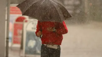
For residents of cities like Mumbai, Chennai, Kolkata, and Bengaluru, water-logged streets are an unwelcome but familiar sight during heavy rains. Traditional drainage systems, often decades old and under-resourced, struggle to cope with intense, sudden
downpours, which are becoming more frequent. Clogged drains and overflowing sewers can turn a commute into a crisis within minutes. This reactive reality means that by the time authorities are aware of severe flooding in a locality, it's often too late for residents to move vehicles or protect their ground-floor homes and businesses. The consequences range from economic losses to, in the worst cases, threats to life and safety.
Introducing the Smart Drainage Solution
A connected, or 'smart', drainage system flips the script from reaction to proaction. Instead of relying on manual checks or waiting for citizen complaints, it uses a network of modern technologies to monitor the city's water-carrying arteries in real time. At its heart, the system is a network of sensors embedded within the drainage infrastructure, all connected to a central command centre. These systems are part of India's broader Smart Cities Mission, which aims to use technology to improve urban life. The goal is to create an intelligent, self-monitoring network that can predict a flood before it happens, giving authorities and citizens a crucial window of time to act.
The Eyes and Ears Underground
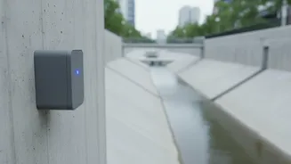
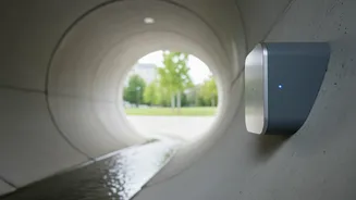
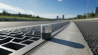
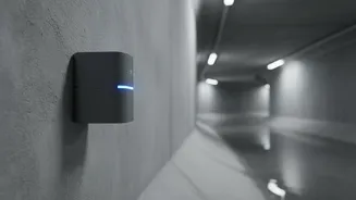
The frontline soldiers of this system are Internet of Things (IoT) sensors. These rugged, waterproof devices are strategically placed inside manholes, sewer lines, and at critical points in the city's drainage network, especially in flood-prone hotspots. These sensors are designed to measure key indicators, primarily the water level. Some advanced systems also monitor the flow rate of the water and the functional status of pumps at pumping stations. They continuously collect this data and transmit it wirelessly to a central server. This provides a live, second-by-second map of what’s happening underground, something that was previously impossible to achieve.
From Raw Data to a Predictive Alert
Collecting data is only the first step. The true intelligence of the system lies in how it processes this information. The data from hundreds of sensors is fed into a cloud-based platform where it is analysed. This is where Artificial Intelligence (AI) and machine learning algorithms come into play. By combining real-time sensor data with other information—such as weather forecasts from meteorological departments and historical flood data for the area—the system can identify dangerous trends. For instance, if water levels in a series of drains are rising rapidly and heavy rain is forecast, the system can predict which areas are likely to be inundated and, crucially, how soon it will happen, sometimes providing warnings up to six hours in advance.
The Final Step: Reaching Your Phone
An early warning is useless if it doesn't reach the people who need it. Once the system predicts a high probability of flooding in a specific area, it triggers an automated alert dissemination process. These critical alerts can be sent directly to residents' mobile phones via several channels. The most common are mass SMS broadcasts targeted at specific geographic zones. Some systems integrate with dedicated city-wide or disaster management mobile apps, sending push notifications with detailed information and advice. In some cases, this information can also be pushed to public address systems, digital signboards on roads, and even popular navigation apps like Google Maps or Waze to automatically reroute traffic away from flood-affected routes.
Pioneering Projects in India
This isn't science fiction; it's already being implemented in several Indian cities. Kolkata has rolled out a comprehensive city-level flood forecasting system with over 450 sensor locations to monitor inundation levels. In Pune, an integrated system with hundreds of IoT sensors has reportedly helped reduce flooding incidents. More recently, in July and August 2026, Andhra Pradesh announced the launch of an AI-powered 'City Flood Alert' platform, starting with Vijayawada, which has long struggled with floods from the Budameru rivulet. This system aims to provide a 48-hour rainfall forecast and a six-hour flash flood warning, with plans to expand it to all urban centres in the state. These initiatives represent a significant shift in how Indian cities are preparing for the challenges of extreme weather.