


The Force From Below: Tectonic Plates
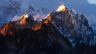
Nepal's existence is defined by a colossal, slow-motion collision. The country sits directly on the boundary where the Indian tectonic plate pushes relentlessly northwards into the Eurasian plate at a rate of about five centimetres per year. This immense
geological pressure is what created the Himalayan mountain range, but it also means that stress is constantly building deep within the Earth's crust. When this accumulated stress is released, it results in powerful earthquakes. Because of this, Nepal is ranked among the most earthquake-prone nations globally. These seismic events are rarely isolated; a major tremor can trigger a devastating chain reaction of secondary disasters, including landslides and avalanches, that amplify the destruction.
The Double-Edged Sword: Himalayan Mountains
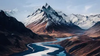
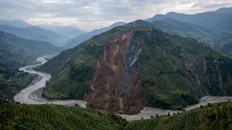
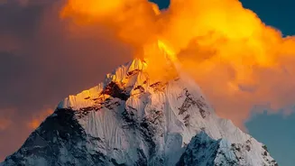
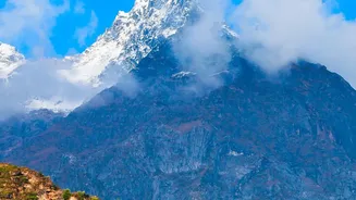
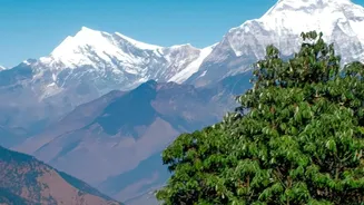
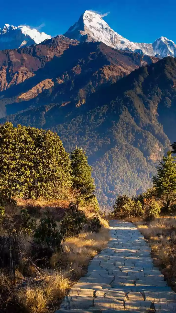
The very mountains that define Nepal's identity are also a primary source of hazard. Geologically, the Himalayas are young and active, characterized by steep, fragile slopes. This topography makes the hilly and mountainous regions highly susceptible to landslides. Heavy rains or seismic shaking can easily destabilize these slopes, sending soil, rock, and debris crashing down into valleys with little warning. Furthermore, climate change is accelerating the melting of Nepal's thousands of glaciers. This not only alters river flows but also leads to the formation of unstable glacial lakes high in the mountains. When the natural dams containing these lakes fail, they can release catastrophic flash floods, known as Glacial Lake Outburst Floods (GLOFs), which surge downstream with immense destructive power.
The Annual Deluge: The Monsoon
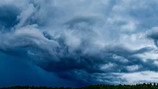
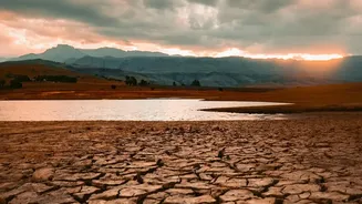
For four months every year, from roughly June to September, the monsoon brings 80% of Nepal's total annual rainfall. This seasonal deluge is the lifeblood for agriculture but also the main trigger for the country's most frequent and deadly disasters: floods and landslides. The intense rainfall saturates the already fragile mountain slopes, dramatically increasing the likelihood of them giving way. The monsoon season has also become more erratic, with patterns of long droughts followed by extreme downpours that the land cannot absorb. This intensity overwhelms river systems, causing them to swell and burst their banks, leading to widespread flooding, especially in the southern Terai plains.
A Web of Rushing Rivers
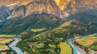
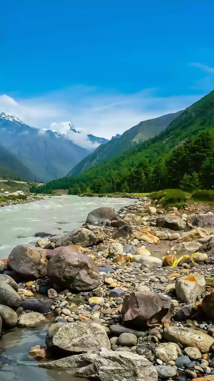
Nepal has more than 6,000 rivers and rivulets, most flowing from the high Himalayas south to the plains. During the monsoon, these rivers transform into powerful, destructive forces. Fed by both monsoon runoff and accelerated glacial melt, they carry enormous volumes of water and sediment. This leads not only to riverbank erosion and inundation of farmland and villages but also to a particularly dangerous phenomenon known as a cascading hazard. A landslide high in the mountains can block a river, creating a temporary dam. When this dam inevitably bursts, it releases a sudden, violent wall of water downstream, as seen in flash floods along rivers like the Bhote Koshi and Trishuli.
The Human Element and Cascading Risks
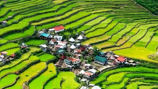
Natural forces are not the only factor. Human activities often compound the existing risks. Unplanned road construction, deforestation, and settlements built on vulnerable slopes or floodplains can weaken the terrain and place more people in harm's way. The result is a complex web where one disaster often triggers another. An earthquake can destabilize slopes that later collapse during the monsoon. A landslide can dam a river, leading to a flash flood. The country’s infrastructure, including vital hydropower projects, roads, and bridges, is frequently built in areas exposed to these hazards, making the economic and human cost of each event even higher.