


The Monsoon Travel Gamble
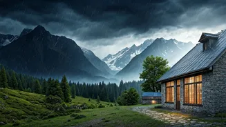
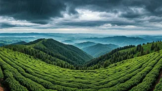
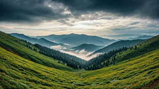
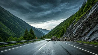
Anyone who has travelled through the Himalayas or the Western Ghats during the monsoon knows the feeling. A steady drizzle turns into a torrential downpour, and suddenly, the single road ahead is gone—swallowed by a landslide or submerged under a flash
flood. What follows is a familiar and frustrating script: a long line of vehicles, zero information, and an indefinite wait. Official channels are often slow to update, and standard navigation apps might still show a clear path through a now-impassable section of road. This information vacuum turns a scenic trip into a high-stakes gamble, leaving travellers stranded, sometimes for days, with dwindling supplies and mounting anxiety. Every year, thousands of tourists and locals are caught off guard, a testament to the volatile power of nature and the persistent challenge of communication in remote, rugged terrain.
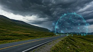
A New Kind of Map
Enter the world of open-source mapping. Unlike proprietary services like Google Maps or Apple Maps, which are controlled by a single company, open-source platforms like OpenStreetMap (OSM) are built and maintained by a global community of volunteers. Think of it as the Wikipedia of maps—a collaborative, editable, and free-to-use map of the world. In the context of India’s mountains, this model is revolutionary. It means that the map is not just a static drawing of roads and landmarks; it's a dynamic, living document that can be updated in real-time by the very people on the ground—locals, travellers, truck drivers, and disaster response teams. This community-driven approach allows for a level of detail and immediacy that centralised systems struggle to match.
How It Works in Real Time
So, how does this actually help you avoid a blockade? When a landslide occurs on a road in Uttarakhand, a local resident or a stranded traveller with internet access can log into an OSM-based tool and mark the road as blocked. They can add details: the nature of the blockage, estimated clearing time (if known), and even photos. This information becomes instantly visible to anyone else using the map. Other users can then confirm the report, adding to its credibility. This process, known as crowdsourcing, creates a near-real-time picture of the ground reality. While a traditional map tells you where the road *should* be, a crowdsourced map tells you where the road *is*—and whether it's currently passable. These platforms often use different visual cues, like red lines for blocked roads and green for clear ones, making the information easy to digest at a glance.
Tools and Platforms to Know
The power of open-source lies in its flexibility. While OpenStreetMap provides the base layer, various organisations and volunteer groups build specialised tools on top of it. During the Kerala floods of 2018, for instance, a collaborative map was deployed that helped coordinate rescue efforts by mapping flooded areas, relief camps, and collection centres in real-time. Similar initiatives have been activated during crises in Himachal Pradesh and Uttarakhand. For the average traveller, this means looking beyond your default map app. Before heading to the mountains, it's wise to search for specific, event-based crisis maps for the region. Websites like OSM.org itself, and projects by Indian communities like DataMeet, are central hubs for this kind of information. By using these platforms, you are not just a consumer of data; you are part of a network of eyes and ears on the ground.
Beyond Just Blockades
The utility of these community-powered maps extends far beyond simply identifying road closures. In an emergency, they can be used to pinpoint the location of the nearest functional hospital, a relief shelter with space, or a spot where food and water are being distributed. Volunteers can map temporary shelters, safe walking paths, and areas that are at high risk of further landslides. This rich, layered information transforms a simple map into a comprehensive survival tool. It empowers both travellers and residents to make informed decisions, navigate risks, and find help when it's needed most. It’s a powerful demonstration of how collective, decentralised knowledge can create a resilient system that helps communities prepare for and respond to nature’s challenges.