


The Magic of a Geosynchronous Orbit
Most Earth observation satellites are in Low Earth Orbit (LEO), circling the planet every 90 minutes or so. They are like high-speed trains, catching fleeting glimpses of locations as they pass over. A geosynchronous satellite is completely different.
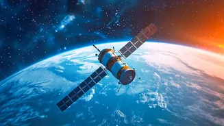
Launched to a much higher altitude of nearly 36,000 kilometres, its orbit is precisely timed to match the Earth's own 24-hour rotation. Imagine you're on a merry-go-round, and a friend is on a nearby, faster-spinning ride. They would just be a blur. But if your friend was on the same merry-go-round, they would seem to stay in one place relative to you. A geosynchronous satellite does the same thing with Earth. It orbits at just the right speed to remain 'fixed' over the same spot on the ground. This allows it to stare, not just glance, at a vast region.
India's 'Eye in the Sky'
The recently launched EOS-05, also known as GISAT-1A, is India's first dedicated imaging satellite to operate from this special orbit. While India has operated meteorological satellites in this orbit for years, EOS-05 is designed for high-resolution imaging. Think of it as upgrading from a wide-angle weather camera to a powerful zoom lens that stays pointed at the Indian subcontinent and surrounding oceans. This constant watch is a game-changer. Satellites in lower orbits might revisit a specific location only once every few days. For monitoring fast-developing events like cyclones, forest fires, or flash floods, that's not enough. EOS-05 can provide images of a selected area every five minutes, and a picture of the entire Indian landmass every half hour. This capability transforms disaster management from being reactive to proactive.
What Can It Actually See?
EOS-05 is equipped with powerful cameras that can see in multiple wavelengths of light, including visible, near-infrared, and short-wave infrared. This isn't just about taking a simple photo. Different spectral bands can reveal information invisible to the naked eye. For instance, infrared imaging can help assess the health of crops over huge areas, detect water stress in forests, or even map the temperature of the sea surface. The satellite carries multispectral imagers, with one camera reportedly offering a resolution of 42 metres per pixel—the highest ever for a satellite in this type of orbit. This allows it to monitor everything from agricultural patterns and mineralogy to environmental changes and water resources. Its continuous coverage also has significant strategic applications for border surveillance and national security.
From Data to Daily Life
The real value of EOS-05 lies in how its data translates into tangible benefits for people on the ground. For farmers, the information can lead to better crop yield estimates and more efficient water usage. For city planners, it can help monitor urban sprawl and infrastructure development. But its most critical role may be in saving lives. When a cyclone forms over the Bay of Bengal, continuous tracking of its intensity and path is vital for timely evacuations. In the event of floods or landslides, near real-time imagery helps authorities understand the extent of the damage and direct rescue teams to the areas most in need. This constant stream of information from a single, powerful source strengthens India's self-reliance in disaster management and weather forecasting, making communities safer and more resilient.
A Hard-Earned Success
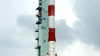
The successful launch of EOS-05 on September 4, 2026, aboard the GSLV-F17 rocket was a significant achievement for ISRO. It represents the culmination of a program that has faced challenges, including the loss of the similar EOS-03 (GISAT-1) satellite during a launch failure in 2021. This success not only places a crucial strategic asset in orbit but also demonstrates the resilience of India's space program. EOS-05 is part of a broader vision to build a comprehensive Earth observation network that serves India's diverse needs, from agriculture to defence. As ISRO continues to expand this constellation, our ability to understand and protect our home planet from a perch 36,000 kilometres away will only grow stronger.