




1. Monitoring the Marine Food Web
At the base of the ocean's food chain are phytoplankton, microscopic algae that are invisible to the naked eye but vital for marine life. Using an advanced Ocean Colour Monitor (OCM), satellites like EOS-06 can measure chlorophyll concentration in the water.
This essentially allows scientists to map the distribution of these tiny organisms. For planners, this information is invaluable. It helps identify potential fishing zones, supporting the livelihoods of millions who depend on the sea. By tracking the health and location of phytoplankton blooms, scientists can understand the productivity of marine ecosystems and monitor the effects of climate change on the oceans.
2. Mapping Ocean Surface Winds
One of the most powerful tools on India's ocean-monitoring satellites is the scatterometer. This is an active microwave radar that sends pulses to the ocean surface and measures the backscatter to determine both wind speed and direction. This capability is a game-changer for weather forecasting, especially for tracking the formation and intensification of cyclones in the Arabian Sea and Bay of Bengal. The data from instruments like the SCAT-3 on EOS-06 provides critical inputs for meteorological models, allowing for more accurate and timely warnings. This helps disaster management agencies prepare coastal communities and save lives. The wind data is also vital for safe maritime navigation.
3. Providing Real-Time Disaster Imagery
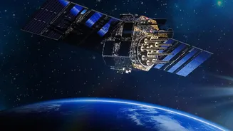
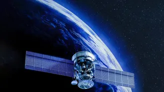
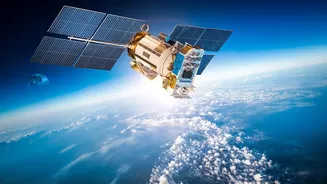
While polar-orbiting satellites like EOS-06 provide regular global updates, geostationary satellites like the successfully launched EOS-05 offer a different advantage: continuous observation. Positioned at an altitude of about 36,000 km, a geostationary satellite remains over the same region of the Earth. The EOS-05 was designed as India's first imaging satellite in this high orbit, capable of providing near real-time pictures of the Indian subcontinent every 30 minutes. This 'eye in the sky' is crucial for monitoring rapidly developing natural disasters like flash floods, forest fires, and cyclones, providing a constant stream of information to guide response efforts. It also has key strategic applications for security and border surveillance.
4. Tracking Water Quality and Sediment Flow
Beyond just the colour of life, the Ocean Colour Monitor can also see other materials in the water. This includes suspended sediments, which are particles of sand, silt, and clay washed from the land into the sea. Monitoring sediment plumes from rivers helps scientists understand coastal erosion and deposition processes. The instrument can also help detect certain types of pollution and harmful algal blooms. This data is crucial for coastal zone management, helping planners make informed decisions about port construction, dredging, and protecting sensitive coastal ecosystems like mangroves and coral reefs.
5. Assessing Agricultural and Forest Health
While ocean monitoring is a primary goal, the capabilities of these satellites extend to the land as well. The OCM-3 instrument on EOS-06 can measure the Normalized Difference Vegetation Index (NDVI), which is a key indicator of plant health and greenness. By generating monthly global maps of NDVI, scientists can track the seasonal growth and decline of vegetation across continents. For a country like India, this has immense value for agricultural planning, allowing for large-scale assessment of crop health and drought conditions. It also enables forest managers to monitor the health of vast forest areas and supports researchers studying the global carbon cycle and the impact of climate change on land ecosystems.