



The Allure and Peril of Monsoon Trekking
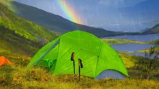
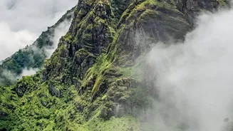
For trekking enthusiasts, the monsoon season is a magical time. The heat subsides, dust settles, and the landscapes of the Western Ghats and Himalayas explode into vibrant shades of green. Waterfalls cascade down mountainsides, and mist clings to valleys,
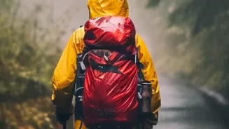
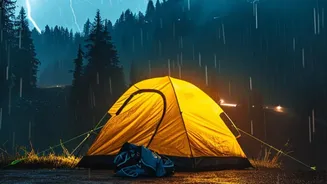
creating an otherworldly atmosphere. However, this enchanting environment also presents significant dangers. Heavy rains make trails extremely slippery and unstable, dramatically increasing the risk of falls. Flash floods can turn gentle streams into raging torrents, while dense fog can reduce visibility to just a few metres, causing trekkers to become disoriented and lost. The primary dangers are not just the rain itself, but the consequences: sudden rockfalls, swollen river crossings that become impassable, and narrow gullies that can flood without warning. These risks have led to an increase in accidents, prompting a greater focus on safety and preparedness.
A Digital Lifeline: How Beacons Work
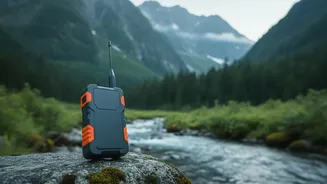
Enter the live location beacon, a small but powerful device that is changing the safety calculus for monsoon treks. These devices, which include satellite messengers like the Garmin inReach or SPOT Gen4, use GPS to pinpoint a trekker's exact location in real-time. Unlike mobile phones, which rely on cellular networks that are often non-existent in remote mountain regions, these beacons communicate directly with satellites. This means that a trekker's location can be tracked continuously, regardless of how remote the trail is. Tour operators can monitor the progress of their groups on a digital map from a basecamp or office. More importantly, most devices feature an SOS button that, when pressed, sends an emergency signal along with GPS coordinates to a 24/7 global monitoring centre, which can then coordinate with local rescue teams.
Peace of Mind for Trekkers and Operators
For adventure companies, adopting this technology is about more than just compliance; it's about providing a higher standard of care. By having a live overview of all their groups, operators can ensure teams are sticking to the planned itinerary and haven't strayed into dangerous areas. If a group is stationary for too long, it could indicate a problem, allowing the operator to proactively check in. Some devices, like the Garmin inReach, allow for two-way text messaging via satellite, enabling guides to communicate with their base, receive weather updates, or explain a delay. This gives trekkers and their families immense peace of mind, knowing there is a reliable line of communication and a rescue system in place even when far from civilisation. It transforms the experience from a potentially anxious venture into a well-managed adventure.
Technology as an Aid, Not a Replacement
While these beacons are a significant step forward, experts and seasoned operators are quick to point out that they are not a magic bullet. The effectiveness of the technology depends on battery life, a clear view of the sky for a satellite signal, and proper use. There's also a risk that such devices can create a false sense of security, encouraging less experienced individuals to take risks they otherwise wouldn't. Responsible adventure operators stress that technology complements, but does not replace, the fundamentals of mountain safety. These fundamentals include having experienced and certified guides, maintaining a low guide-to-trekker ratio, conducting proper pre-trek briefings, and making conservative decisions based on weather and trail conditions. The human element—judgment, experience, and local knowledge—remains the most critical safety tool on any trek.