




The Eyes in the Sky: ISRO's Agricultural Mission
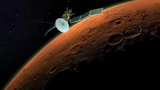
At the heart of this transformation is the Indian Space Research Organisation (ISRO), which has evolved from launching rockets to empowering farmers. Using a fleet of remote sensing satellites, ISRO provides a wealth of data that was previously unimaginable.
These satellites capture detailed images of agricultural land across the country, collecting information on everything from crop health and soil moisture to water availability. This constant stream of data forms the backbone of several national agricultural programs, turning satellite imagery into actionable intelligence for millions of farmers. Programs like FASAL (Forecasting Agricultural output using Space, Agro-meteorology and Land-based observations) and the Bhuvan geo-portal are prime examples of how this space technology is being harnessed for terrestrial benefit.
Smarter Crop Insurance with PMFBY
One of the most significant impacts of satellite technology has been on the Pradhan Mantri Fasal Bima Yojana (PMFBY), India's flagship crop insurance scheme. Previously, assessing crop damage and settling claims was a slow, manual process prone to disputes. Today, technology is changing the game. By using satellite imagery, officials can accurately assess the extent of crop damage due to natural calamities like floods or droughts on a large scale, often without a single field visit. Initiatives like YES-TECH (Yield Estimation System based on Technology) use satellite data to create precise yield estimates at the village level, ensuring that insurance claims are settled faster and more transparently. This not only helps farmers recover from losses more quickly but also increases trust in the insurance system.
Powering Precision Agriculture
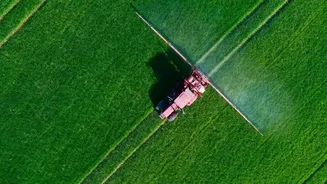
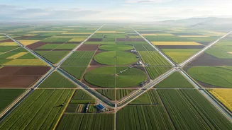
Beyond insurance, satellites are enabling a new era of 'precision farming'. This means giving farmers the ability to make highly specific decisions for their individual fields. Satellite data can reveal variations within a single farm, showing which parts need more water, fertilizer, or pest control. This allows for the targeted application of resources, saving farmers money and reducing environmental impact. Platforms like the Krishi-Decision Support System (Krishi-DSS) integrate data from satellites with information on weather and soil to provide tailored advice. A farmer might receive an alert on their phone advising them of a potential pest outbreak or suggesting the optimal time to irrigate, all based on data gathered from hundreds of kilometers above.
Forecasting the Nation's Harvest
Accurately forecasting crop production is crucial for national food security and economic planning. The Mahalanobis National Crop Forecast Centre (MNCFC) uses satellite data extensively for this purpose. By monitoring crop acreage and health throughout the growing season, the government can generate reliable pre-harvest estimates for major crops like rice, wheat, and cotton. This information helps in making critical decisions about food pricing, storage, and potential import or export needs. The upcoming NISAR mission, a joint project between NASA and ISRO, promises to provide even more detailed and frequent data, further improving the accuracy of these forecasts.
Challenges and the Path Forward
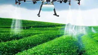
Despite the immense potential, challenges remain. Making this high-tech data accessible and understandable for smallholder farmers, many of whom have limited digital literacy, is a major hurdle. Bridging the gap between raw satellite data and practical, on-the-ground advice is key. Furthermore, the integration of new technologies like Artificial Intelligence, machine learning, and drones with satellite imagery is the next frontier. As these technologies mature, they promise to unlock even more personalised and predictive insights, helping farmers to not only monitor their crops but also to anticipate future challenges and opportunities, ensuring a more resilient and productive agricultural sector for India.