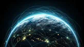


Eyes in the Sky: A Planetary Health Check
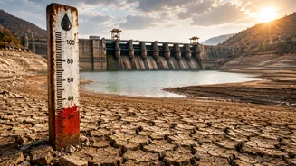
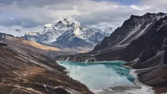
Think of satellites as doctors conducting a full-body scan of Earth. For decades, they have provided the foundational data proving our climate is changing. They use sophisticated sensors to measure the thickness of polar ice sheets, track rising sea levels
with millimetre-precision, and monitor the expansion of deserts and the destruction of rainforests. These are not just abstract data points; they are vital signs. For instance, NASA's GRACE-FO (Gravity Recovery and Climate Experiment Follow-On) satellites measure tiny changes in Earth's gravity field to track where water is moving, revealing how quickly ice sheets in Greenland and Antarctica are melting and contributing to sea-level rise. Similarly, ESA’s Copernicus Sentinel missions provide a constant stream of imagery that helps us map floods, fires, and land-use changes in near real-time, giving us a clear picture of a planet under stress.
The Carbon and Methane Detectives
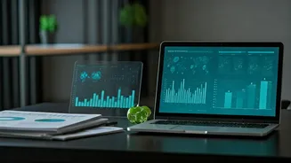
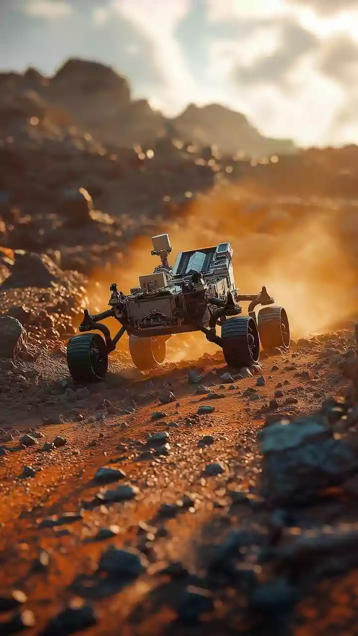
Beyond just observing the effects, a new generation of satellites is playing detective, sniffing out the culprits: greenhouse gases. The biggest challenge with emissions like carbon dioxide (CO2) and methane is that they are invisible. A country or company can claim to be cutting emissions, but proving it has been difficult. Satellites are changing that by creating a new era of radical transparency. Missions like NASA's Orbiting Carbon Observatory 2 (OCO-2) map CO2 concentrations across the globe, identifying major sources. More recently, specialised satellites from organisations like GHGSat and the MethaneSAT project are designed to pinpoint specific methane leaks. Methane is a potent greenhouse gas, and much of it comes from leaks in oil and gas infrastructure, agriculture, and landfills. These satellites can zoom in on a single facility and tell its operators—and the world—that it's leaking. This transforms climate action from a game of estimates to one of direct accountability.
From Data to Real-World Action
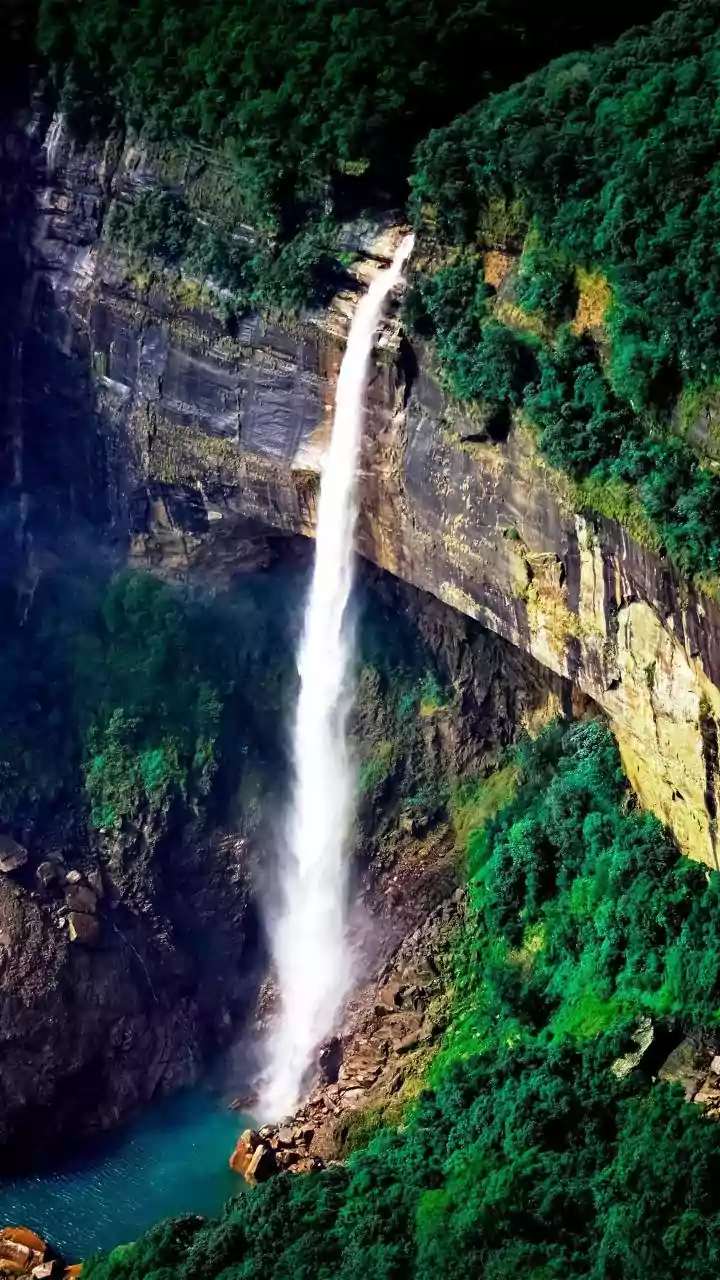
Collecting data is one thing; using it is another. The information beamed down from space is increasingly shaping decisions on the ground. For farmers in India, satellite data on soil moisture and weather patterns can inform better irrigation and crop planting strategies, helping adapt to a more volatile climate. For governments, satellite imagery provides undeniable evidence of illegal deforestation or mining, enabling them to enforce environmental laws. The methane-tracking satellites, in particular, empower regulators and environmental groups to pressure polluters to fix leaks, which is one of the fastest and cheapest ways to make a dent in global warming. Scientists also feed this wealth of data into climate models, making their predictions about future heatwaves, sea-level rise, and monsoon patterns more accurate and reliable for policymakers.
Why They Aren't a Magic Bullet
This brings us to the 'maybe' in the headline. For all their power, satellites are ultimately just tools for measurement. They can diagnose the illness with incredible precision, but they can’t administer the cure. A satellite can show us a plume of methane from a leaky pipeline, but it cannot force the company to fix it or a government to penalise them. That still requires political will, economic incentives, and public pressure. Furthermore, the sheer volume of data is a challenge. It requires immense computing power and expertise to process, interpret, and turn into actionable insights. Cloud cover can obscure views, and some sensors have limitations. Satellites provide the 'what' and the 'where,' but the 'why' and 'what now' must be answered by us, here on Earth. They are an indispensable part of the solution, but they are not the solution itself.