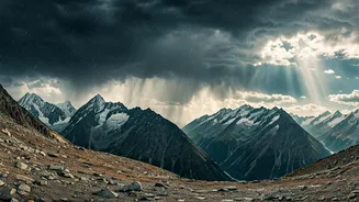


What is a Western Disturbance?
Think of a Western Disturbance (WD) as a weather system that isn't native to the monsoon season. These are extratropical storms that originate over the Mediterranean Sea and travel eastward across the Middle East and Pakistan before reaching northern
India. They are the primary source of winter and pre-monsoon rainfall for the northern plains and snowfall for the Western Himalayas. Their defining characteristic is that they bring moisture from distant seas, independent of the monsoon winds. While they can occur year-round, strong WDs are far more common and impactful during the winter months. Seeing one with this much influence during the peak of the southwest monsoon season is unusual and is the key reason for the current disruption in weather patterns.
The Monsoon's Standard Operating Procedure
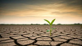
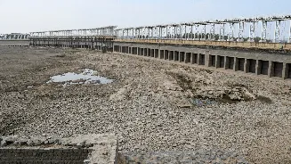
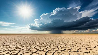
Typically, the southwest monsoon is a fairly predictable beast. It arrives over Kerala around June 1 and gradually progresses northward and westward over the following weeks. Its backbone is the 'monsoon trough,' an elongated low-pressure area extending from northwest India to the Bay of Bengal. This trough acts like a highway for moisture-laden winds, pulling them from the Arabian Sea and the Bay of Bengal into the mainland. The position of this trough dictates where the heaviest rain falls. For much of June, the monsoon's progress was sluggish, leading to significant rainfall deficits, particularly across northern and northwestern India, sparking concerns about agricultural output and water scarcity.
When Two Weather Systems Collide
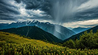
The arrival of this fresh, strong Western Disturbance has essentially thrown a wrench in the works. The WD, being a powerful low-pressure system itself, interacted with the monsoon trough. This interaction had a magnetic effect, pulling the western end of the monsoon trough sharply northward. Instead of its usual position over the Gangetic plains, it shifted closer to the foothills of the Himalayas. This dramatic shift rerouted the flow of moist southwesterly winds. Instead of spreading out over central and eastern India, they were funnelled directly towards North and Northwest India, including Punjab, Haryana, Delhi, Rajasthan, and the Western Himalayan states.
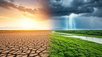
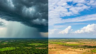
A Tale of Two Monsoons
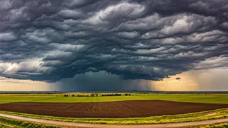
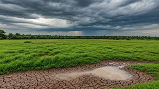
This meteorological tug-of-war has created a starkly divided weather scenario across the country, justifying the headline's claim of a complete change. On one hand, North and Northwest India, which were parched and facing a rainfall deficit, are now receiving intense, widespread downpours. This has erased the deficit in many areas and even led to surplus rainfall, bringing much-needed relief from heatwaves but also raising the risk of flash floods and waterlogging. On the other hand, the northward shift of the trough has cut off the moisture supply to other regions. As a result, parts of central India, eastern states, and even the southern peninsula are experiencing a 'break' in monsoon conditions, with reduced rainfall and a return to drier, warmer weather.
The Real-World Consequences
This shift isn't just a weather map curiosity; it has tangible impacts. For farmers in the northern states, the rain is a lifeline for kharif crops like paddy and cotton, provided it doesn't cause flooding. However, for farmers in Maharashtra, Madhya Pradesh, and other central regions, this dry spell comes at a critical time for sowing and crop growth. Water reservoir levels, which depend on steady monsoon rains, will see a boost in the north but may stagnate or deplete elsewhere. City dwellers in places like Delhi and Chandigarh have welcomed the respite from extreme heat, but municipal authorities are now on high alert for urban flooding.