



A New Eye in the Sky
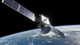
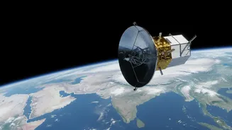
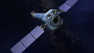
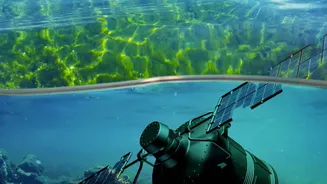
The NISAR (NASA-ISRO Synthetic Aperture Radar) satellite is one of the most advanced Earth-observing satellites ever launched. A joint project between the Indian Space Research Organisation (ISRO) and the U.S. National Aeronautics and Space Administration
(NASA), it was launched on July 30, 2025. What makes NISAR a game-changer is its powerful radar system. Unlike optical satellites that work like a camera and are useless in darkness or when clouds get in the way, NISAR uses Synthetic Aperture Radar (SAR). It actively sends microwave pulses down to Earth and reads the signals that bounce back. This allows it to see our planet's surface day or night, rain or shine. Crucially, it's the first satellite to use two different radar frequencies, L-band and S-band, which work together to provide an incredibly detailed and comprehensive view of changes on the ground.
The Power of a 12-Day Pulse
While the headline suggests a 'daily' release, the satellite's true power lies in its consistent, repeating orbit. NISAR scans nearly all of Earth's land and ice surfaces twice every 12 days. This regular, frequent revisit schedule is revolutionary for monitoring dynamic ecosystems like wetlands. Previous satellite monitoring might provide snapshots weeks or months apart, missing the subtle, rapid changes that define these environments. With its 12-day repeat cycle, NISAR builds a continuous, time-lapse view of the planet, able to detect surface changes as small as a single centimetre. This high-frequency observation allows scientists to move from static before-and-after pictures to a fluid understanding of environmental processes as they happen, such as the gradual drying of a marsh or the impact of a flash flood.
Early Insights into Our Wetlands
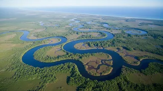
Since beginning science operations, NISAR has already demonstrated its incredible potential for wetland science. Wetlands are complex systems defined by the presence of water, and NISAR's radar is exceptionally good at detecting water and moisture. Early images from its commissioning phase in late 2025 captured detailed views of forests and wetlands in North Dakota, clearly distinguishing between water bodies, different types of vegetation, and agricultural land. The L-band radar can penetrate forest canopies to measure soil moisture, while the S-band is more sensitive to changes in smaller vegetation. This dual-frequency approach allows scientists to track not just the surface area of a wetland but also the health of its plant life and the saturation of its soil. It can monitor how wetlands expand and contract with seasons, how they respond to drought, and how human activities like agriculture and urban development are impacting their boundaries.
From Data to Critical Action
The data streaming from NISAR is more than just pretty pictures; it's a vital tool for environmental management and climate action. Wetlands are crucial ecosystems that act as natural filters for water, provide habitats for immense biodiversity, and store vast amounts of carbon in their soil. When they are disturbed or dry out, they can release potent greenhouse gases like carbon dioxide and methane. By tracking changes in wetland flooding and vegetation, NISAR will give scientists an unprecedented global dataset to understand the carbon cycle. In India, this data will be invaluable for managing vital ecosystems from the Sundarbans to the country's many inland lakes. The information can guide policies on water security, improve flood and landslide prediction, and support sustainable agriculture by monitoring soil moisture over vast regions. Data from both of the satellite's instruments was made publicly available starting in July 2026, empowering scientists, governments, and communities worldwide.