



An Underground Crisis of Epic Proportions
India is the world's largest user of groundwater, extracting more than a quarter of the global total. This subterranean water is a lifeline, satisfying approximately 85% of rural drinking water needs and over 60% of irrigation requirements. However, this
dependence has come at a steep cost. In vast stretches of the country, particularly in the north, water tables are falling at alarming rates, with some regions seeing declines of up to a foot per year. This over-extraction is driven by a combination of factors, including agricultural practices that favour water-intensive crops, electricity subsidies that encourage pumping, and rapid urbanization. The consequences are severe, leading to agricultural distress, increased debt for farmers who must drill deeper wells, and drinking water insecurity for countless communities. For decades, measuring the true extent of this problem across a vast nation has been a monumental challenge, relying on a sparse network of monitoring wells.
A New Sentinel in Orbit: What is NISAR?
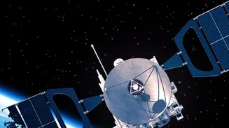
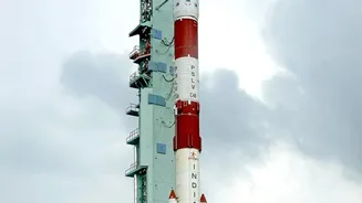
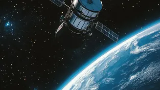
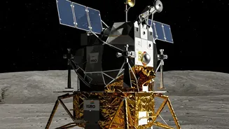
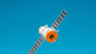
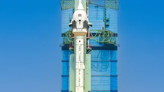
Enter NISAR, the NASA-ISRO Synthetic Aperture Radar mission. A landmark collaboration between the U.S. and Indian space agencies, this advanced Earth-observation satellite was launched to provide an unprecedented, detailed view of our planet's surface. Unlike optical satellites that are hindered by clouds or darkness, NISAR uses radar to scan the Earth day and night, in any weather. It is the first satellite mission to use two different radar frequencies (L-band and S-band) to measure changes in the planet's surface with incredible precision—down to a centimetre. The satellite circles the globe every 12 days, systematically mapping landmasses and ice sheets to track everything from the melt of glaciers to the subtle shifts that precede earthquakes and volcanic eruptions. One of its most critical applications for India is monitoring the country's groundwater resources.
Seeing the Unseen with Radar Technology
So, how can a satellite orbiting hundreds of kilometres above Earth measure water hidden deep underground? The answer lies in a clever technique that measures the effect of water loss on the land itself. When vast amounts of groundwater are pumped out of subterranean aquifers, the underlying soil and rock can compact, causing the ground surface above to sink. This phenomenon is known as land subsidence. NISAR's Synthetic Aperture Radar (SAR) is exceptionally skilled at detecting this movement. By bouncing radar signals off the Earth's surface and meticulously comparing the data from repeated passes over the same location, scientists can create maps that reveal tiny, centimetre-scale changes in ground elevation over time. This technique, called Interferometric SAR (InSAR), effectively turns the entire landscape into a sensor, exposing areas where the ground is sinking.
From Land Subsidence to Water Management
The maps of land subsidence generated by NISAR serve as a direct proxy for groundwater depletion. A region showing significant sinking is a clear red flag for over-exploited aquifers. For the first time, authorities have a tool to get a comprehensive, wall-to-wall view of groundwater stress across entire regions, rather than relying on fragmented data from individual wells. Publicly available data from the NISAR mission, which started being released in mid-2026, allows water managers, state governments, and agricultural bodies to pinpoint hotspots of depletion with remarkable accuracy. This information is crucial for implementing targeted conservation policies, promoting more efficient irrigation techniques, and planning for sustainable water use. It can help officials decide where to invest in water recycling projects or encourage farmers to shift to less water-intensive crops. By providing clear, visual evidence of an otherwise invisible crisis, NISAR's data can drive more informed and urgent action.