




A New Eye on Planet Earth
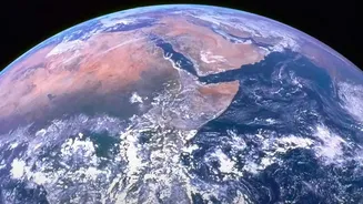
In a significant leap for climate science, NASA has partnered with technology giant IBM to develop a groundbreaking artificial intelligence model designed to sift through mountains of satellite data. Known as the Prithvi Geospatial foundation model, this
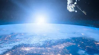
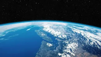
open-source tool is engineered to analyze images of Earth, providing scientists with a more efficient way to monitor environmental changes. The core challenge this AI addresses is the sheer volume of data NASA collects. By 2024, the agency anticipated its archives would hold 250,000 terabytes of data from new missions alone. This deluge of information, while invaluable, creates a bottleneck for researchers who previously had to manually analyze it. The new AI acts as a highly intelligent assistant, capable of learning from vast, unlabeled datasets to spot patterns and changes that might otherwise be missed.
From Raw Data to Actionable Insights
The technology behind this innovation is a "foundation model," a type of AI similar to the large language models that power chatbots. Instead of learning from text, however, Prithvi learns from images. Specifically, it was trained on the Harmonized Landsat Sentinel-2 (HLS) dataset, which combines years of imagery from NASA and European Space Agency (ESA) satellites. This self-supervised learning allows the model to build a fundamental understanding of what Earth's surface looks like. Once this base knowledge is established, scientists can fine-tune the model for specific tasks with much smaller amounts of labeled data. This approach has already proven to be 15 percent more effective than previous state-of-the-art techniques. By making the model open-source and available on platforms like Hugging Face, NASA and IBM are empowering a global community of researchers to build upon their work, accelerating discovery.
Tracking Floods, Fires, and More
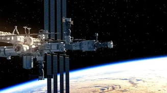
The practical applications for this AI are extensive and vital for a world grappling with climate change. Early uses have successfully demonstrated its ability to perform critical tasks like mapping floodplains after a deluge and identifying burn scars left by wildfires. These capabilities allow for faster and more accurate disaster response and damage assessment. Beyond disasters, the model can be adapted to monitor changes in land use, track the health of forests, and even predict crop yields, which has profound implications for global food security. A version of the model, called SatVision-TOA, has also been trained on 100 million images to identify objects in obscured images, which can be used for everything from urban planning to environmental analysis. In May 2026, a version of Prithvi was even deployed on the International Space Station, proving AI can perform analysis in orbit before data even reaches the ground.
The Future of Climate Monitoring
This collaboration represents a paradigm shift in Earth observation. By leveraging AI, scientists can move from a reactive to a more predictive stance on climate risks. The goal is not just to map what has already happened, but to better forecast future events. NASA is already exploring further applications, including other foundation models for heliophysics and planetary science. Another project with Planette, called QubitCast, uses quantum-inspired AI to try and predict extreme weather months in advance, a significant jump from the typical 10-day forecast window. By combining NASA's unparalleled data with advanced AI, these tools provide a clearer, more dynamic picture of our planet's health. They promise to transform complex satellite imagery into the actionable intelligence needed by governments, industries, and communities to build resilience in the face of a changing climate.