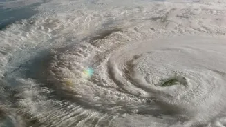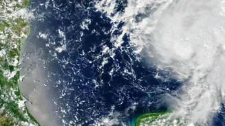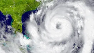

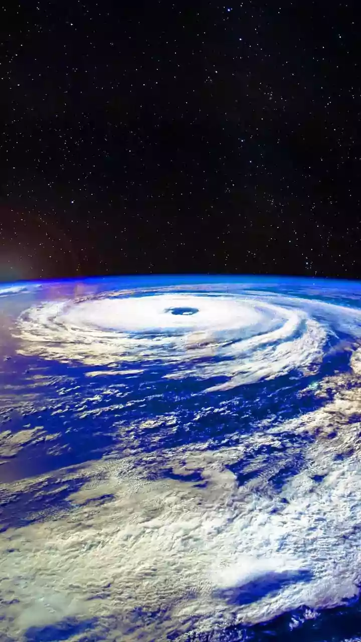


Recent years have seen India battered by powerful cyclones that intensify with terrifying speed. Yet, scientists are exploring a counterintuitive trend: the total number of cyclones may not be rising, but the ones that do form pack a more ferocious punch.
A Tale of Two Trends
On the surface, it seems like a contradiction. While the overall number of cyclonic disturbances over the North Indian Ocean has seen periods of decline over the long term, the frequency of very intense storms is stable or even increasing. Data analysis, particularly in recent decades, points to a notable shift. For instance, studies have highlighted a significant increase in the frequency, duration, and intensity of cyclonic storms over the Arabian Sea. Between 1982 and 2019, the frequency of cyclones in the Arabian Sea rose by 52%, with the number of very severe cyclones jumping by 150%. In contrast, the Bay of Bengal, traditionally the more active basin, has not seen the same significant changes. This suggests a redistribution of risk, with India's west coast facing a growing threat from more powerful storms.
The Fuel of a Warmer World
The primary driver behind more intense cyclones is ocean heat. Cyclones are essentially giant heat engines that draw their energy from warm ocean water. The Indian Ocean has been warming faster than the global average, with sea surface temperatures in the Arabian Sea rising by as much as 1.2 to 1.4 degrees Celsius. This excess heat provides more fuel, allowing storms to strengthen. Warmer seas also lead to more moisture in the atmosphere. When a cyclone forms, this abundant moisture provides additional latent heat, further intensifying the storm and leading to heavier rainfall. This is a key reason why scientists project that even if cyclone frequency decreases, their intensity and associated rainfall are likely to increase.
The Puzzle of Rapid Intensification
One of the most dangerous trends is rapid intensification, where a storm strengthens dramatically in a very short period. Cyclone Amphan in 2020, for example, escalated from a Category 1 to a Category 5 storm in less than 24 hours. This phenomenon is linked to deeper ocean warming. In the past, as a cyclone churned the sea, it would pull up colder water from below, which would typically weaken the storm. Now, with heat penetrating deeper into the ocean, the storm continues to draw energy, allowing it to maintain or increase its strength as it approaches the coast. This rapid strengthening makes forecasting a significant challenge and shortens the critical window for evacuation and disaster preparedness, posing an elevated risk to coastal populations.
Why Projections Are Not Certainties
While the physical link between warmer oceans and stronger storms is robust, predicting future cyclone activity is incredibly complex. Climate models are sophisticated tools, but they must account for numerous competing factors. For example, while heat fuels storms, other atmospheric conditions like vertical wind shear (the change in wind speed and direction with height) can tear them apart. How these factors will interact in a changing climate is a subject of ongoing research. Some studies and models suggest a decrease in the overall global frequency of tropical cyclones, while others find mixed signals or regional increases. Therefore, scientists are careful to frame their findings in terms of probabilities and trends rather than absolute certainties. The message is not one of panic, but of risk awareness and the need for preparedness in the face of changing storm behaviour.