





The Great Data Deluge From Space
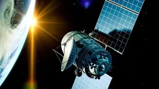
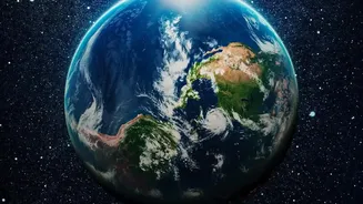
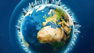
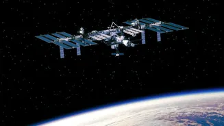
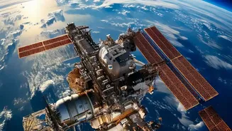
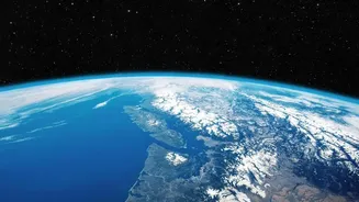
Every day, a fleet of sophisticated Earth-observing satellites circles the globe, capturing a continuous stream of high-resolution images and measurements. These missions, including collaborations like the NASA-Indian Space Research Organisation (ISRO)
NISAR satellite, are critical for understanding our planet. However, they create a monumental challenge: a deluge of data. NASA is projected to manage hundreds of petabytes of data in the coming years—an amount so vast that if it were text, it would fill billions of filing cabinets. Some individual missions are expected to generate nearly 100 terabytes of data daily, equivalent to the storage of tens of thousands of feature-length movies. It is simply impossible for human analysts to manually sift through this information quickly enough to be effective. This data bottleneck risks turning valuable, time-sensitive observations into a digital traffic jam, where critical information gets lost in the noise.
Artificial Intelligence Enters the Picture
To conquer this data mountain, NASA has embraced artificial intelligence as a powerful ally. Instead of relying solely on human eyes, the agency is deploying machine learning models that can be trained to recognize complex patterns in satellite imagery with incredible speed and accuracy. These AI systems can learn to identify specific phenomena like the signs of a burgeoning wildfire, the extent of floodwaters after a storm, or subtle changes in land use over time. A landmark effort in this area is a collaboration between NASA and IBM to build a powerful open-source geospatial AI known as a 'foundation model'. This model, named Prithvi, was trained on a vast library of NASA's satellite imagery and serves as a versatile base that can be quickly adapted for a wide variety of analytical tasks.
From Pixels to Practical Insights
The true power of this AI-driven approach lies in its real-world applications. By automating the analysis of satellite data, NASA can dramatically shorten the time between data collection and actionable insight. For example, an AI model fine-tuned for flood mapping can analyze post-hurricane imagery in hours instead of days, helping emergency responders understand the scope of a disaster and direct aid to where it is needed most. Similarly, these models can be used to detect the 'burn scars' left by wildfires, track deforestation in the Amazon, monitor the health of agricultural crops to predict yields, and measure greenhouse gas emissions. For a country like India, which faces challenges from cyclones, floods, and agricultural pressures, the ability to get this kind of environmental intelligence faster can be a game-changer for governance and public safety.
Teaching an AI to See the Earth
Creating an AI that can interpret Earth science data is not magic; it requires a meticulous training process. Scientists begin by feeding the model massive, curated datasets, essentially teaching it what to look for. The development of foundation models like Prithvi streamlines this process significantly. Rather than building a new AI from scratch for every single problem, researchers can take this pre-trained model and fine-tune it with a smaller, more specific dataset. This makes the technology more accessible and efficient, allowing a wider range of scientists and organizations to harness NASA's data. By making its primary geospatial model open-source, NASA is fostering a collaborative ecosystem where developers worldwide can contribute to and benefit from these advanced tools, accelerating innovation across the board.
The Future Is Autonomous Observation
The integration of AI is not stopping at ground-based data centers. The next frontier is deploying AI directly onto the satellites themselves, a concept known as edge computing. This would give satellites the ability to think for themselves. An AI-powered satellite could analyze images in real-time as it collects them. If it spots a short-lived event of high scientific interest, like a volcanic eruption or a sudden algal bloom, it could autonomously decide to capture more detailed imagery or adjust its observation strategy, all without waiting for commands from Earth. This would transform satellites from simple data collectors into intelligent, responsive observers, ensuring that the most critical information is captured and prioritized, further boosting the efficiency and impact of Earth observation.