



1. A Tectonic Collision Course
Nepal sits directly on the boundary where the Indian and Eurasian tectonic plates collide. The Indian plate pushes northward into the Eurasian plate at a rate of about two inches per year. This relentless pressure builds immense geological strain that
is released in the form of powerful earthquakes. The devastating 2015 earthquake was a stark reminder of this constant threat, which has shaped the country's landscape over 50 million years.
2. Steep, Unstable Mountain Terrain
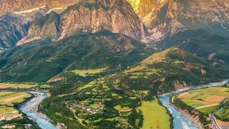
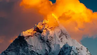
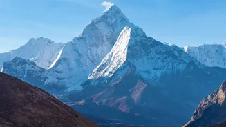
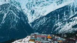
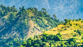
The same tectonic collision that causes earthquakes also created the Himalayas, the world's youngest and highest mountain range. This means much of Nepal is characterized by steep, fragile, and unstable slopes. This topography makes the country exceptionally prone to landslides, which can be triggered by earthquakes or heavy rains. Entire communities in hilly regions are built on terrain that can give way with little warning.
3. An Intense Monsoon Season
From June to September, the monsoon season delivers about 80% of Nepal's total annual rainfall. While vital for agriculture, these intense downpours saturate the fragile slopes, leading to widespread landslides and devastating floods. In recent years, climate change has made the monsoon more erratic, with long dry spells followed by concentrated bursts of extreme rainfall that overwhelm natural and man-made drainage systems.
4. A Complex Web of Rivers
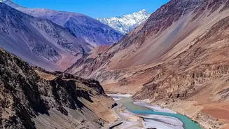
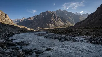
More than 6,000 rivers and streams flow through Nepal, most originating high in the Himalayas and travelling south to the Terai plains. During the monsoon, these rivers swell dramatically, causing severe flooding, riverbank erosion, and inundation of farmland and settlements. Major river systems like the Koshi, Narayani, and Karnali become powerful forces of destruction, carrying enormous volumes of water and debris downstream.
5. Melting Glaciers and GLOFs
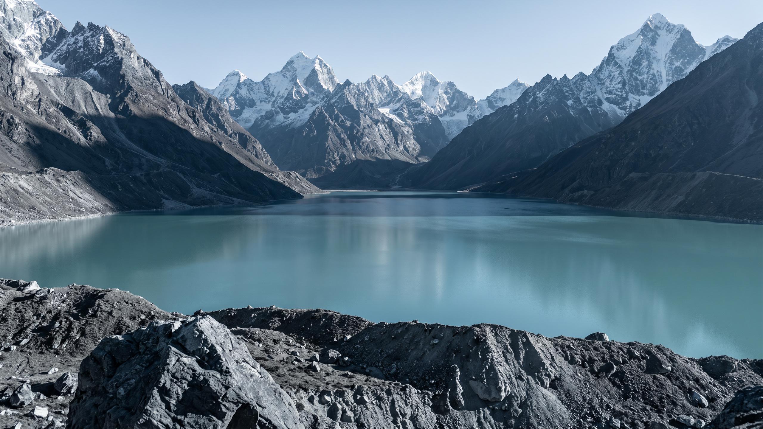
As global temperatures rise, Nepal's glaciers are melting at an alarming rate. This meltwater forms vast, unstable glacial lakes, often dammed only by loose rock and soil called moraines. When these natural dams fail, they can release catastrophic volumes of water in an event known as a Glacial Lake Outburst Flood (GLOF). These flash floods are incredibly destructive, wiping out entire villages, bridges, and hydropower plants downstream.
6. Valley Geology That Amplifies Shaking
Valleys like the one housing Kathmandu are filled with deep layers of soft clay and sediment. During an earthquake, these soft soils can amplify seismic waves, making the shaking more intense and longer-lasting than on solid rock. This effect significantly increases the potential for building damage and collapse in densely populated urban centres.
7. The Risk of Soil Liquefaction
In addition to amplifying shaking, the water-saturated soil beneath many of Nepal's valleys is prone to liquefaction during a strong earthquake. This is a process where the soil temporarily loses its strength and behaves like a liquid. Buildings, roads, and other infrastructure can sink or tilt as the ground beneath them gives way, causing widespread destruction even after the initial tremor has passed.
8. Climate Change as a Threat Multiplier
Climate change is making a dangerous situation even worse. It is accelerating glacier melt, increasing the risk of GLOFs, and causing more erratic and intense rainfall patterns. This not only increases the frequency of floods and landslides but also introduces new hazards like thermokarst failures, where thawing permafrost causes the ground to collapse. These changes threaten to reverse development gains and push more people into poverty.
9. The Hazard of 'Cascading Disasters'
In Nepal, disasters rarely happen in isolation. A single event often triggers a deadly chain reaction. An earthquake can cause landslides and avalanches, which in turn can dam rivers. When these temporary dams burst, they create catastrophic flash floods downstream. This phenomenon of cascading hazards means that the risk is not just from the initial event, but from a series of interconnected disasters that follow.
10. Human Factors and Unplanned Development
While geography is the primary driver, human activities often worsen the risk. Unplanned road construction on steep hillsides, deforestation, and the expansion of settlements into high-risk areas all contribute to slope instability. This interference with the natural landscape disrupts the delicate balance and transforms natural hazards into large-scale human disasters.