A New Partnership, A New Perspective
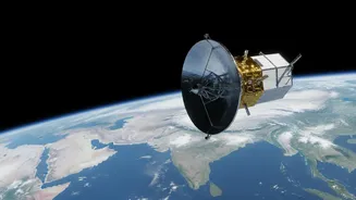
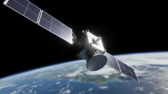
NISAR, which stands for NASA-ISRO Synthetic Aperture Radar, is much more than just another satellite. It is a landmark collaboration between the US and Indian space agencies, designed to provide a comprehensive and continuous view of our planet. Launched
in July 2025, NISAR orbits Earth every 100 minutes from a near-polar path, allowing it to map virtually the entire globe every 12 days. What makes it truly special is its payload: a sophisticated radar system that operates day and night, in any weather. Unlike standard optical satellites that are often blinded by clouds or darkness, NISAR’s radar signals cut through these obstacles to see the ground below.
The Magic of Cloud-Penetrating Radar
The core of the NISAR mission is its advanced Synthetic Aperture Radar (SAR). SAR isn't a camera; it's an active sensor that sends microwave pulses toward Earth's surface and measures the signals that bounce back. By processing these returning echoes, it creates incredibly detailed, high-resolution images. Crucially, NISAR is the first satellite to use two different radar frequencies, L-band and S-band, simultaneously. The longer-wavelength L-band, provided by NASA, can penetrate through forest canopies to measure the structure of the woods and even see through dry snow. The shorter-wavelength S-band, from ISRO, is excellent for monitoring things like soil moisture, light vegetation, and changes in coastal areas. Together, they provide a multi-layered view of the planet that no single-frequency radar could achieve.
From Infrequent Snapshots to a Daily Movie
While radar satellites are not new, the sheer volume and frequency of NISAR's data are revolutionary. The mission is designed to produce a torrent of information—projected at nearly 85 terabytes per day—and make it freely available to the public within hours or days of collection. Previously, access to high-quality radar data, especially in the L-band, was often restricted and expensive. More importantly, the 12-day repeat cycle means scientists now have a consistent, reliable time-series of observations. This allows them to move beyond static pictures and instead watch a continuous movie of Earth's processes, capturing subtle movements and rapid changes that were previously missed between less frequent satellite passes.
Seeing the Unseen, from Volcanoes to Farmlands
This constant stream of data has profound implications. For disaster management, NISAR can detect tiny changes in the ground—as small as a centimeter—that precede earthquakes or volcanic eruptions. In the event of a flood or landslide, it can map the affected areas in near real-time, regardless of cloud cover, guiding emergency responders. For climate science, it provides unprecedented data on melting glaciers and ice sheets, crucial for understanding sea-level rise. In India, the data will be particularly valuable for monitoring Himalayan glaciers, managing water resources, and improving agricultural practices by tracking crop health and soil moisture. The applications are vast, touching everything from monitoring deforestation in the Amazon to ensuring the stability of infrastructure like bridges and dams.