






A New Eye In The Sky
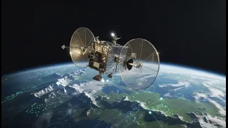
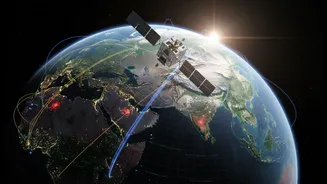
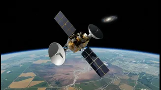
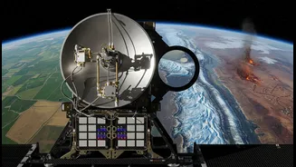
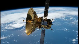
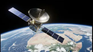
The NISAR mission, a landmark collaboration between the US space agency NASA and the Indian Space Research Organisation (ISRO), is the most expensive Earth-imaging satellite ever built. Launched in 2025, this sophisticated observatory is equipped with
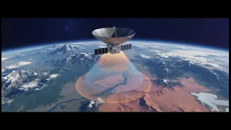
advanced dual-frequency radar technology. What makes NISAR a game-changer is its Synthetic Aperture Radar (SAR), which acts like a powerful camera that can see through clouds, rain, and even darkness. This allows it to monitor the Earth’s surface continuously, day or night, in all weather conditions. It carries two types of radar: an L-band system provided by NASA, which can penetrate vegetation to see the ground beneath, and an S-band system from ISRO, which is excellent for observing surface details. Together, they provide a comprehensive view of our planet’s dynamic processes, from the slightest shifts in the ground to changes in vast agricultural fields.
Seeing Through The Floods
For a country that perennially faces the monsoon’s fury, NISAR's ability to aid flood forecasting is a monumental leap forward. Traditional satellite monitoring is often hampered by the very clouds that bring the torrential rain. NISAR’s radar cuts right through them. It can map the extent of floodwaters with incredible precision, down to a resolution of a few metres. This allows authorities to see exactly which areas are inundated, even in densely forested regions where flooding can be hidden from view. By comparing images taken just days apart, the satellite can create detailed maps of how water levels are changing, effectively acting as a network of thousands of virtual stream gauges. This data, delivered within hours of a disaster, provides critical information for rescue and relief operations, enabling responders to act faster and more effectively to save lives and property.
A Farmer’s Friend From Space
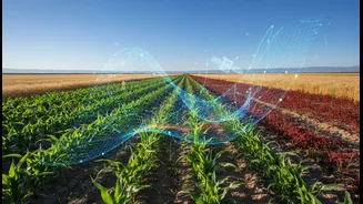
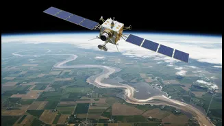
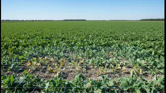
Beyond disaster management, NISAR is poised to transform Indian agriculture. For millions of farmers, success depends on the vagaries of weather and the availability of water. NISAR provides two crucial pieces of information: soil moisture and crop health. Its radar can generate high-resolution maps of soil moisture across the entire country, allowing for better irrigation planning and early warnings for drought conditions. By tracking changes in vegetation, the satellite can monitor crop growth, distinguish between different crop types, and assess overall agricultural health. This wealth of data can help in predicting crop yields with greater accuracy, which is vital for national food security and for stabilising commodity prices. It also provides a robust tool for validating crop insurance claims and helping farmers adopt more efficient, data-driven agricultural practices.
Beyond Water and Wheat
The applications of NISAR's data extend far beyond floods and farms. India’s Himalayan region is prone to landslides, and the satellite’s ability to detect tiny movements in the Earth's surface—as small as a centimetre—can provide early warnings for potential disasters. This same capability is crucial for monitoring land subsidence in major cities caused by groundwater extraction, tracking the retreat of glaciers that are a vital water source for North India, and even assessing earthquake and volcanic hazards. By providing a consistent and detailed record of changes across the country’s entire landmass every 12 days, NISAR offers a powerful tool for managing natural resources and planning sustainable infrastructure development for a growing nation.