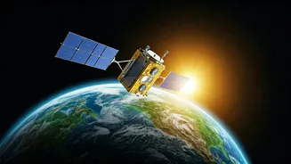


Eyes in the Sky for Every Farmer
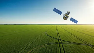
Perhaps the most profound impact of Earth Observation (EO) technology in India is felt in its fields. For generations, farming has been a gamble against the weather and pests. Today, satellites are helping to stack the odds in the farmer's favour. Through
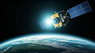
agencies like the Indian Space Research Organisation (ISRO), satellites like the Resourcesat and RISAT series provide a wealth of data on soil moisture, crop health, and weather patterns. This isn't just abstract information; it's translated into actionable advice. The data feeds into government schemes like the Pradhan Mantri Fasal Bima Yojana (PMFBY), where it’s used for more accurate crop-cutting experiments and faster, fairer insurance payouts after damage from floods or droughts. On a micro-level, agritech startups are using this satellite imagery to give farmers precise advice on where to irrigate, when to apply fertiliser, and how to detect pest attacks before they devastate a harvest. It's a high-tech-to-high-yield revolution, turning space data into food security.
A Shield Against Natural Disasters
India's long coastline and varied geography make it uniquely vulnerable to natural disasters, from cyclones to floods and landslides. In this constant battle, EO satellites are our most crucial early-warning system. The India Meteorological Department (IMD) relies heavily on data from the INSAT series of satellites to track the formation, intensification, and path of cyclones with incredible accuracy. This advanced warning—often days in advance—gives authorities critical time to evacuate vulnerable populations, saving countless lives. For floods, satellite imagery helps map the extent of inundation in near real-time, allowing disaster response teams from the National Disaster Response Force (NDRF) to identify the worst-hit areas and direct resources where they are needed most. After the disaster, the same satellites help assess the damage to infrastructure and agriculture, laying the groundwork for rapid recovery and rebuilding.
Building Smarter, Greener Cities
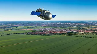
As India's urban population booms, cities face immense pressure on resources, infrastructure, and the environment. Here again, satellites offer a unique, top-down perspective to manage this growth sustainably. Urban planners use high-resolution images from the Cartosat series—often called India's 'eye in the sky'—to monitor urban sprawl, identify illegal construction, and plan new infrastructure projects like roads, metro lines, and water pipelines. This data is invaluable for ensuring that development is planned and not chaotic. Furthermore, satellites can monitor the environmental health of a city by tracking changes in green cover, mapping heat islands, and even monitoring air and water pollution levels. By providing a clear, unbiased picture of how our cities are changing, EO data empowers municipalities to make smarter, data-driven decisions for a more liveable future.
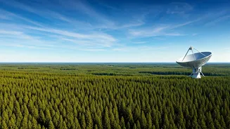
Guardians of Our Natural Wealth
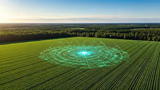
Beyond farms and cities, Earth Observation is playing a vital role in protecting India's vast natural resources. The Forest Survey of India uses satellite data to create its biennial forest cover reports, providing a comprehensive check-up on the nation's green lungs. This helps in tracking deforestation, identifying areas for afforestation, and managing forest fires. The technology is also critical for water resource management. Satellites monitor the water levels in thousands of reservoirs and dams across the country, which is essential for managing irrigation and drinking water supplies. They can map groundwater potential, helping to combat the growing water crisis in many regions. From the Himalayan glaciers to the coastal wetlands, these orbiting sentinels are providing the data we need to understand and conserve our precious environmental heritage for future generations.